File:R1-SVK-map.svg

Size of this PNG preview of this SVG file: 800 × 432 pixels. Other resolutions: 320 × 173 pixels | 640 × 346 pixels | 1,024 × 553 pixels | 1,280 × 692 pixels | 2,560 × 1,383 pixels | 4,680 × 2,529 pixels.
Original file (SVG file, nominally 4,680 × 2,529 pixels, file size: 107 KB)
Captions
Captions
Add a one-line explanation of what this file represents
| Description |
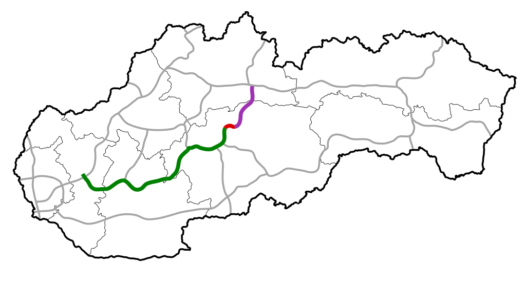
English: Map of R1 (Slovakia)
Slovenčina: Mapa diaľnice R1 (Slovensko) |
| Date | |
| Source | Own work |
| Author | Rl91 |
| Permission (Reusing this file) |
Own work |
| I, the copyright holder of this work, release this work into the public domain. This applies worldwide. In some countries this may not be legally possible; if so: I grant anyone the right to use this work for any purpose, without any conditions, unless such conditions are required by law. |
File history
Click on a date/time to view the file as it appeared at that time.
| Date/Time | Thumbnail | Dimensions | User | Comment | |
|---|---|---|---|---|---|
| current | 07:56, 29 October 2011 | | 4,680 × 2,529 (107 KB) | Wizzard (talk | contribs) | Nitra - Tekovské Nemce completed |
| 22:37, 18 May 2011 |  | 4,680 × 2,529 (103 KB) | Achernar.sk (talk | contribs) | Úsek okolo Žiaru dokončený. Part near Žiar nad Hronom was completed. | |
| 22:33, 18 May 2011 |  | 4,680 × 2,529 (103 KB) | Achernar.sk (talk | contribs) | ||
| 13:39, 28 July 2010 |  | 4,680 × 2,529 (74 KB) | Rl91 (talk | contribs) | R3 south | |
| 13:10, 28 July 2010 |  | 4,680 × 2,529 (74 KB) | Rl91 (talk | contribs) | {{Information |Description={{en|1=Map of R1 (Slovakia)}} {{sk|1=Mapa diaľnice R1 (Slovensko)}} |Source=Own Work |Date=28.7.2010 |Author=Rl91 |Permission=Own work |other_versions= }} {{PD-self}} [[Category:Maps of expressways in Slovakia] |
You cannot overwrite this file.
File usage on Commons
There are no pages that use this file.