File:RJ NH 28-1-Dune-20131011.jpg
Size of this preview: 800 × 533 pixels. Other resolutions: 320 × 213 pixels | 640 × 427 pixels | 1,024 × 683 pixels | 1,280 × 853 pixels | 2,560 × 1,707 pixels | 5,472 × 3,648 pixels.
Original file (5,472 × 3,648 pixels, file size: 9.03 MB, MIME type: image/jpeg)
Captions
Captions
Add a one-line explanation of what this file represents
Summary
edit
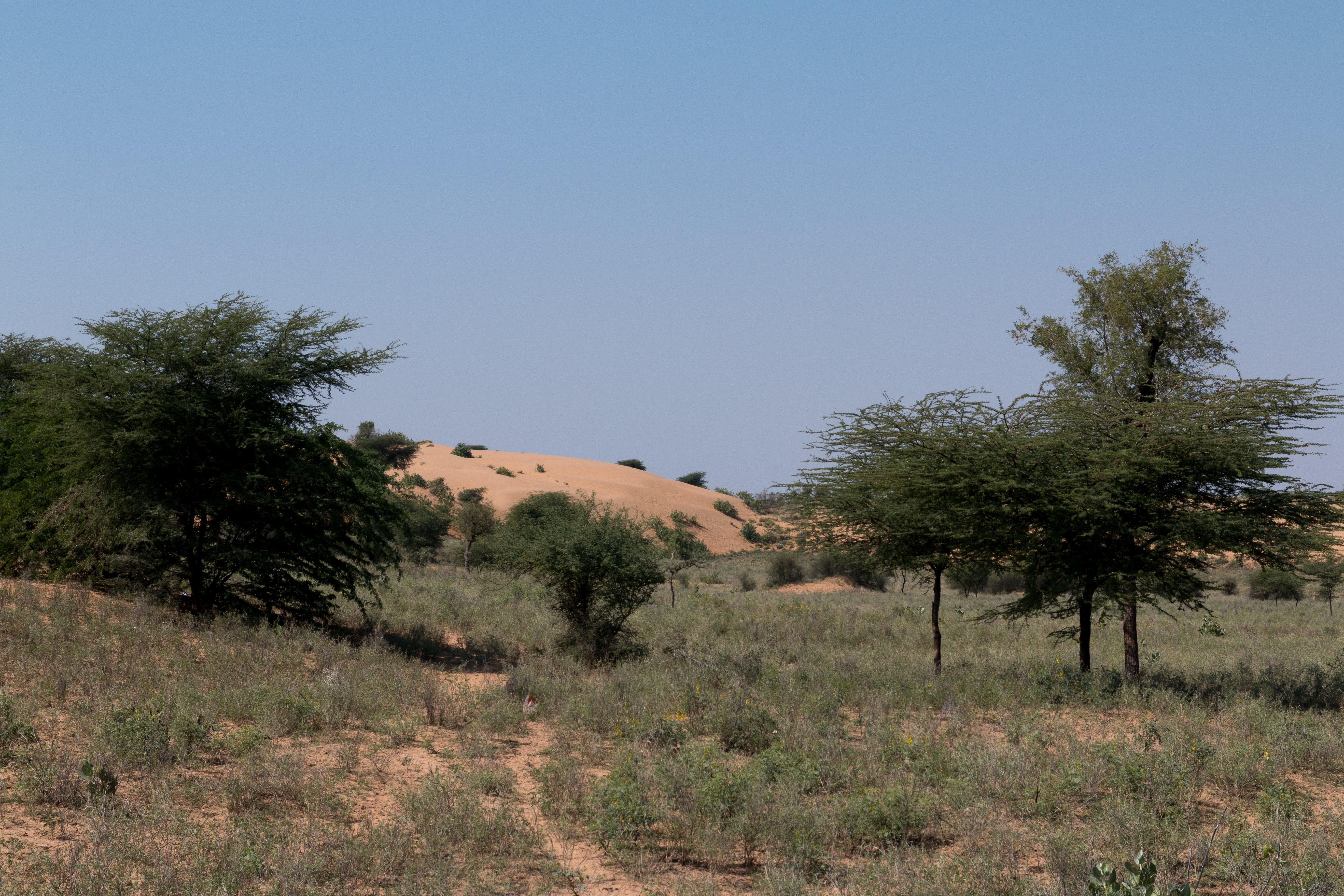
| Description | Sand dune in the most barren part of the Thar Desert. |
| Date | Taken on 9 October 2013 |
| Source | Own work |
| Author | Daniel VILLAFRUELA |
| Camera location | | View this and other nearby images on: OpenStreetMap |
|---|
Licensing
edit
Daniel VILLAFRUELA, the copyright holder of this work, hereby publishes it under the following license:
This file is licensed under the Creative Commons Attribution-Share Alike 3.0 Unported license.
Attribution: Daniel VILLAFRUELA
- You are free:
- to share – to copy, distribute and transmit the work
- to remix – to adapt the work
- Under the following conditions:
- attribution – You must give appropriate credit, provide a link to the license, and indicate if changes were made. You may do so in any reasonable manner, but not in any way that suggests the licensor endorses you or your use.
- share alike – If you remix, transform, or build upon the material, you must distribute your contributions under the same or compatible license as the original.
File history
Click on a date/time to view the file as it appeared at that time.
| Date/Time | Thumbnail | Dimensions | User | Comment | |
|---|---|---|---|---|---|
| current | 12:32, 6 December 2013 | | 5,472 × 3,648 (9.03 MB) | Daniel VILLAFRUELA (talk | contribs) | =={{int:filedesc}}== {{Information <!--/ LangSwitch /--> |Description = {{mld |en= Sand dune in the most barren part of the Thar Desert. |es= Duna de arena en la parte la mas desértica del desierto de Thar |fr= Dune de sable de la partie désertique... |
You cannot overwrite this file.
File usage on Commons
The following page uses this file: