File:RN Pólo Costa Branca.png
No higher resolution available.
RN_Pólo_Costa_Branca.png (800 × 497 pixels, file size: 107 KB, MIME type: image/png)
Captions
Captions
Add a one-line explanation of what this file represents
| Description |
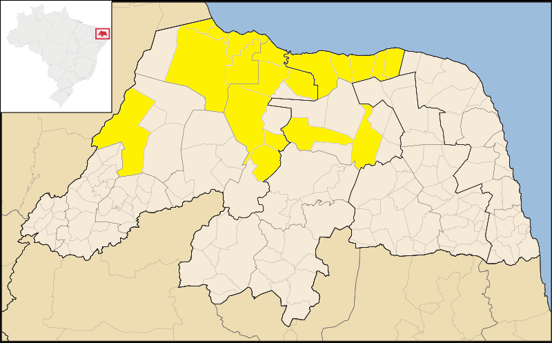
Português: Mapa do Rio Grande do Norte, destacado o pólo turístico da Costa Branca. |
| Date | (UTC) |
| Source | |
| Author |
|
| This is a retouched picture, which means that it has been digitally altered from its original version. Modifications: Português: Destacados os municípios que compõem a Costa Branca. . The original can be viewed here: RioGrandedoNorte MesoMicroMunicip.svg:
|
I, the copyright holder of this work, hereby publish it under the following licenses:
This file is licensed under the Creative Commons Attribution 2.5 Generic license.
- You are free:
- to share – to copy, distribute and transmit the work
- to remix – to adapt the work
- Under the following conditions:
- attribution – You must give appropriate credit, provide a link to the license, and indicate if changes were made. You may do so in any reasonable manner, but not in any way that suggests the licensor endorses you or your use.

|
Permission is granted to copy, distribute and/or modify this document under the terms of the GNU Free Documentation License, Version 1.2 or any later version published by the Free Software Foundation; with no Invariant Sections, no Front-Cover Texts, and no Back-Cover Texts. A copy of the license is included in the section entitled GNU Free Documentation License. |
| This file is licensed under the Creative Commons Attribution-Share Alike 3.0 Unported license. | ||
| ||
| This licensing tag was added to this file as part of the GFDL licensing update. |
You may select the license of your choice.
Original upload log
edit
This image is a derivative work of the following images:
- File:RioGrandedoNorte_MesoMicroMunicip.svg licensed with Cc-by-2.5, GFDL
- 2006-11-14T13:24:13Z Raphael.lorenzeto 1594x990 (209740 Bytes)
- 2006-04-29T09:39:48Z Raphael.lorenzeto 857x537 (188926 Bytes) {{Information| |Description=Map of Rio Grande do Norte state |Source=own work |Date=April, 27 2006 |Author=Raphael Lorenzeto de Abreu |Permission={{self2|GFDL|cc-by-2.5}} |other_versions= }} [[Category:Maps of Tocantins]]
Uploaded with derivativeFX
File history
Click on a date/time to view the file as it appeared at that time.
| Date/Time | Thumbnail | Dimensions | User | Comment | |
|---|---|---|---|---|---|
| current | 19:53, 14 June 2009 | | 800 × 497 (107 KB) | Castelobranco (talk | contribs) | {{Information |Description=(pt):Mapa do Rio Grande do Norte, destacado o pólo turístico da Costa Branca. |Source=*File:RioGrandedoNorte_MesoMicroMunicip.svg |Date=2009-06-14 20:50 (UTC) |Author=*File:RioGrandedoNorte_MesoMicroMunicip.svg: Ra |
You cannot overwrite this file.
File usage on Commons
There are no pages that use this file.