File:ROCK RETAINING WALLS AT GIBBON FALLS, VIEW TO NORTH NORTHEAST - Iron Springs Quarry, 150 feet west of Grand Loop Road, 20 miles east of U.S. Highway 287, West Thumb, Teton HAER WYO,20-MADJU.V,1-10.tif
Size of this JPG preview of this TIF file: 741 × 600 pixels. Other resolutions: 297 × 240 pixels | 593 × 480 pixels | 949 × 768 pixels | 1,265 × 1,024 pixels | 2,530 × 2,048 pixels | 5,000 × 4,047 pixels.
Original file (5,000 × 4,047 pixels, file size: 19.3 MB, MIME type: image/tiff)
Captions
Captions
Add a one-line explanation of what this file represents
Summary edit
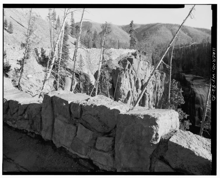
| ROCK RETAINING WALLS AT GIBBON FALLS, VIEW TO NORTH NORTHEAST - Iron Springs Quarry, 150 feet west of Grand Loop Road, 20 miles east of U.S. Highway 287, West Thumb, Teton County, WY | ||||
|---|---|---|---|---|
| Photographer |
Hager, Kristi, creator |
|||
| Title |
ROCK RETAINING WALLS AT GIBBON FALLS, VIEW TO NORTH NORTHEAST - Iron Springs Quarry, 150 feet west of Grand Loop Road, 20 miles east of U.S. Highway 287, West Thumb, Teton County, WY |
|||
| Depicted place | Wyoming; Teton County; West Thumb | |||
| Date | 1997 | |||
| Dimensions | 4 x 5 in. | |||
| Current location |
Library of Congress Prints and Photographs Division Washington, D.C. 20540 USA http://hdl.loc.gov/loc.pnp/pp.print |
|||
| Accession number |
HAER WYO,20-MADJU.V,1-10 |
|||
| Credit line |
|
|||
| Notes |
|
|||
| Source | https://www.loc.gov/pictures/item/wy0368.photos.374005p | |||
| Permission (Reusing this file) |
|
|||

File history
Click on a date/time to view the file as it appeared at that time.
| Date/Time | Thumbnail | Dimensions | User | Comment | |
|---|---|---|---|---|---|
| current | 04:27, 5 August 2014 |  | 5,000 × 4,047 (19.3 MB) | Fæ (talk | contribs) | GWToolset: Creating mediafile for Fæ. HABS 2014-08-04 3801-4000 |
You cannot overwrite this file.
File usage on Commons
The following page uses this file: