File:ROTES BERGGRAS.jpg

Size of this preview: 800 × 450 pixels. Other resolutions: 320 × 180 pixels | 640 × 360 pixels | 1,024 × 576 pixels | 1,280 × 720 pixels | 2,560 × 1,440 pixels | 3,840 × 2,160 pixels.
Original file (3,840 × 2,160 pixels, file size: 3.51 MB, MIME type: image/jpeg)
Captions
Captions
Add a one-line explanation of what this file represents
Summary edit
| Description |
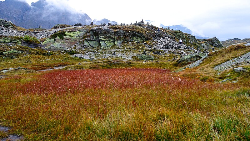
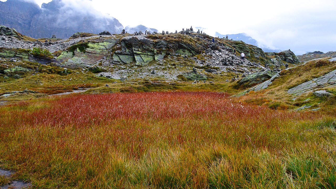
Deutsch: Er verbindet die Täler Rheinwald auf der nördlichen und Misox auf der südlichen Seite an der Hauptstrasse 13. Die Luftdistanz zu den Passfussorten beträgt vier Kilometer bis Hinterrhein (auf 1620 m gelegen) und 12 km bis Mesocco (790 m). Auf der Passhöhe verlaufen die Europäische Wasserscheide und die Sprachgrenze zwischen Deutsch und Italienisch. |
| Date | |
| Source | Own work |
| Author | Moramora11 |
Licensing edit
I, the copyright holder of this work, hereby publish it under the following license:
This file is licensed under the Creative Commons Attribution-Share Alike 4.0 International license.
- You are free:
- to share – to copy, distribute and transmit the work
- to remix – to adapt the work
- Under the following conditions:
- attribution – You must give appropriate credit, provide a link to the license, and indicate if changes were made. You may do so in any reasonable manner, but not in any way that suggests the licensor endorses you or your use.
- share alike – If you remix, transform, or build upon the material, you must distribute your contributions under the same or compatible license as the original.
File history
Click on a date/time to view the file as it appeared at that time.
| Date/Time | Thumbnail | Dimensions | User | Comment | |
|---|---|---|---|---|---|
| current | 13:04, 25 September 2014 | | 3,840 × 2,160 (3.51 MB) | Moramora11 (talk | contribs) | User created page with UploadWizard |
You cannot overwrite this file.
File usage on Commons
There are no pages that use this file.