File:RabaEast.jpg

Size of this preview: 800 × 600 pixels. Other resolutions: 320 × 240 pixels | 640 × 480 pixels | 1,024 × 767 pixels | 1,280 × 959 pixels | 2,560 × 1,919 pixels | 4,056 × 3,040 pixels.
Original file (4,056 × 3,040 pixels, file size: 7.06 MB, MIME type: image/jpeg)
Captions
Captions
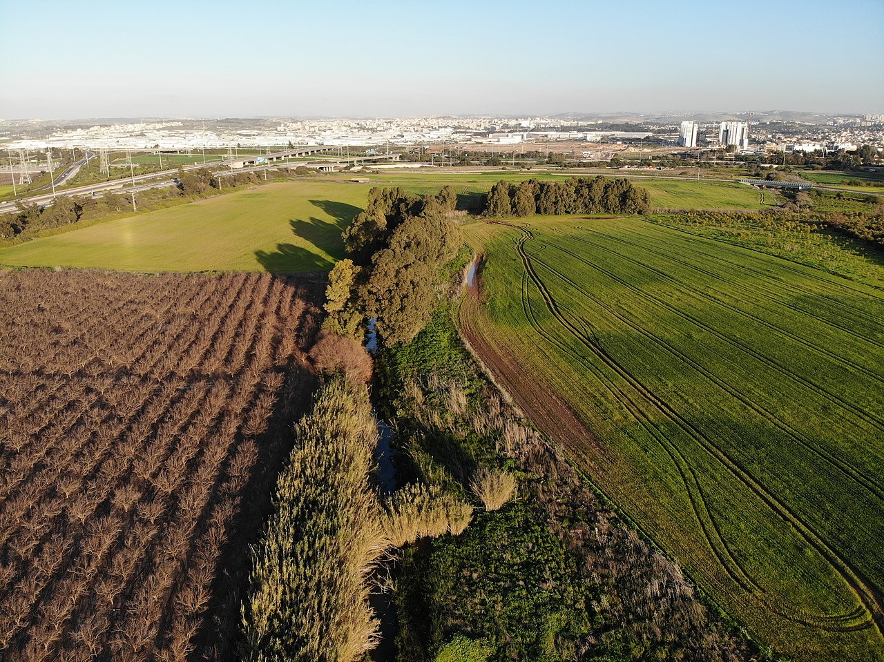
Raba stream - view to the east
Summary edit
| Description |
עברית: מבט על נחל רבה לכיוון מזרח, בסמוך לנקודת החיבור שלו עם נחל הירקון.
ברקע בצד שמאל - מחלף קסם וכפר ברא. ברקע במרכז התמונה - אזור התעשייה לב הארץ, כפר קאסם ופארק סיבל ברקע בצד ימין - ראש העין |
| Date | |
| Source | Own work |
| Author | גיא אביב |
| Camera location | | View this and other nearby images on: OpenStreetMap |
|---|
Licensing edit
I, the copyright holder of this work, hereby publish it under the following license:
This file is licensed under the Creative Commons Attribution-Share Alike 4.0 International license.
- You are free:
- to share – to copy, distribute and transmit the work
- to remix – to adapt the work
- Under the following conditions:
- attribution – You must give appropriate credit, provide a link to the license, and indicate if changes were made. You may do so in any reasonable manner, but not in any way that suggests the licensor endorses you or your use.
- share alike – If you remix, transform, or build upon the material, you must distribute your contributions under the same or compatible license as the original.
File history
Click on a date/time to view the file as it appeared at that time.
| Date/Time | Thumbnail | Dimensions | User | Comment | |
|---|---|---|---|---|---|
| current | 17:27, 3 February 2019 | | 4,056 × 3,040 (7.06 MB) | גיא אביב (talk | contribs) | User created page with UploadWizard |
You cannot overwrite this file.
File usage on Commons
The following 5 pages use this file:
File usage on other wikis
The following other wikis use this file:
- Usage on he.wikipedia.org