File:Radecznica (gmina) location map.png
Original file (1,415 × 2,796 pixels, file size: 580 KB, MIME type: image/png)
Captions
Captions
Summary
edit_location_map.png&action=edit§ion=1)
| Description |
English: Location map |
| Date | |
| Source | Own work |
| Author | Smat |
| Description |
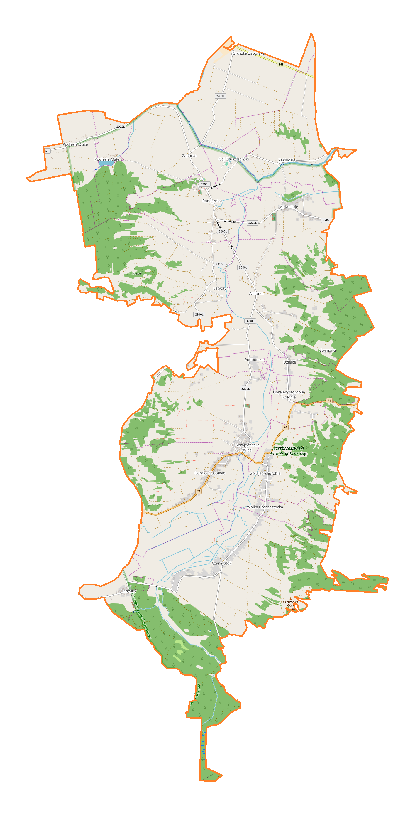
Polski: Mapa gminy Radecznica, Polska
English: Map of Radecznica (gmina), Poland |
|||||||||
| Date | ||||||||||
| Source | You may find a page on the OpenStreetMap wiki page for Radecznica (gmina) | |||||||||
| Creator |
OpenStreetMap contributors OpenStreetMap contributors |
|||||||||
| Permission (Reusing this file) |
OpenStreetMap data is available under the Open Database License (details). Map tiles are licensed under the Creative Commons Attribution-ShareAlike 2.0 license (CC-BY-SA 2.0).
This file is licensed under the Creative Commons Attribution-Share Alike 2.0 Generic license.
|
|||||||||
| Geotemporal data | ||||||||||
| Bounding box |
|
|||||||||
| Georeferencing | If inappropriate please set warp_status = skip to hide. | |||||||||
Licensing
edit_location_map.png&action=edit§ion=2)
| This work contains information from OpenStreetMap, which is made available under the Open Database License (ODbL).
The ODbL does not require any particular license for maps produced from ODbL data. Prior to 1 August 2020, map tiles produced by the OpenStreetMap Foundation were licensed under the CC-BY-SA-2.0 license. Maps produced by other people may be subject to other licences. |
File history
Click on a date/time to view the file as it appeared at that time.
| Date/Time | Thumbnail | Dimensions | User | Comment | |
|---|---|---|---|---|---|
| current | 12:20, 17 October 2017 | | 1,415 × 2,796 (580 KB) | Smat (talk | contribs) | User created page with UploadWizard |
You cannot overwrite this file.
File usage on Commons
There are no pages that use this file.
File usage on other wikis
The following other wikis use this file:
- Usage on pl.wikipedia.org
- Podborcze
- Zaburze (powiat zamojski)
- Radecznica (gmina)
- Radecznica
- Latyczyn
- Dzielce
- Gaj Gruszczański
- Gorajec-Stara Wieś
- Gorajec-Zagroble
- Gorajec-Zastawie
- Gruszka Zaporska
- Mokrelipie
- Podlesie Małe (województwo lubelskie)
- Trzęsiny
- Wólka Czarnostocka
- Zakłodzie (województwo lubelskie)
- Zaporze
- Czarnystok (województwo lubelskie)
- Podlesie Duże (województwo lubelskie)
- Gorajec-Zagroble-Kolonia
- Monaster św. Antoniego w Radecznicy
- Krzyż ku czci Aleksandra II w Radecznicy
- Parafia św. Antoniego Padewskiego w Radecznicy
- Bazylika św. Antoniego z Padwy w Radecznicy
- Cmentarz wojenny w Zaporzu
- Parafia św. Jana Chrzciciela w Trzęsinach
- Kościół św. Jana Chrzciciela w Trzęsinach
- Parafia Wniebowzięcia Najświętszej Maryi Panny w Gorajcu-Starej Wsi
- Parafia Znalezienia Krzyża Świętego w Mokrelipiu
- Moduł:Mapa/dane/Radecznica (gmina)
- Wikipedysta:Olek1992/Szkoła Podstawowa w Gorajcu
- Publiczna Szkoła Podstawowa w Gorajcu
- Usage on pl.wikibooks.org
_location_map.png&oldid=708058653)