File:Ragoeser-schleuse-13.jpg

Size of this preview: 800 × 600 pixels. Other resolutions: 320 × 240 pixels | 640 × 480 pixels | 1,024 × 768 pixels | 1,280 × 960 pixels | 2,272 × 1,704 pixels.
Original file (2,272 × 1,704 pixels, file size: 2.56 MB, MIME type: image/jpeg)
Captions
Captions
Add a one-line explanation of what this file represents
Summary
edit
| Description |
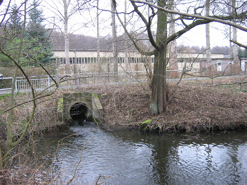
Deutsch: Mündung eines Arms der Ragöse in den Finowkanal
|
||||
| Date | 26 January 2008 (original upload date) | ||||
| Source | Own work | ||||
| Author | Original uploader was Ralf Roletschek at de.wikipedia | ||||
| Permission (Reusing this file) |
Released under the GNU Free Documentation License. |
Licensing
edit

|
Permission is granted to copy, distribute and/or modify this document under the terms of the GNU Free Documentation License, Version 1.2 or any later version published by the Free Software Foundation; with no Invariant Sections, no Front-Cover Texts, and no Back-Cover Texts. A copy of the license is included in the section entitled GNU Free Documentation License. |
| This file is licensed under the Creative Commons Attribution-Share Alike 3.0 Unported license. | ||
| ||
| This licensing tag was added to this file as part of the GFDL licensing update. |
Original upload log
edit
The original description page was here. All following user names refer to de.wikipedia.
(aktuell) 21:28, 29. Jan. 2008 Ralf Roletschek 2.272×1.704 (2,56 MB) == description == {{Koordinate Text|52.85011_N_13.85709_E_type:landmark_scale:0_region:DE|52.85011° N, 13.85709° O}} Mündung eines Arms der Ragöse in den Finowkanal == batch == == source == == date == 26. Jan. 2008 == author == Ralf Roletschek == permission ==
File history
Click on a date/time to view the file as it appeared at that time.
| Date/Time | Thumbnail | Dimensions | User | Comment | |
|---|---|---|---|---|---|
| current | 20:46, 29 January 2008 | | 2,272 × 1,704 (2.56 MB) | Botaurus-stellaris (talk | contribs) | == Summary == {{Information |Description= {{de|Mündung eines Arms der Ragöse in den Finowkanal}}{{Location dec|52.85011|13.85709}} |Source= own work |Date= 2008-01-26 (original upload date) |Author= Original uploader was [[:de:User:Ralf Roletschek|R |
You cannot overwrite this file.
File usage on Commons
The following page uses this file: