File:Railway-osm-Llanberis Lake Railway-z15-mapnik.png

Size of this preview: 800 × 585 pixels. Other resolutions: 320 × 234 pixels | 640 × 468 pixels | 1,024 × 748 pixels | 1,280 × 936 pixels | 1,494 × 1,092 pixels.
Original file (1,494 × 1,092 pixels, file size: 910 KB, MIME type: image/png)
Captions
Captions
Add a one-line explanation of what this file represents
| Description |
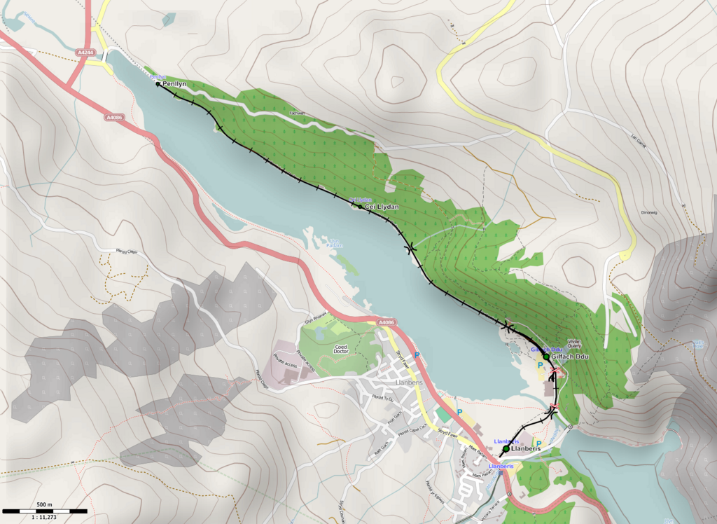
English: Map of Llanberis Lake Railway.
Русский: Приозёрная железная дорога Лланбериса bounds-set -4.16429581094045,53.1137065062641,-4.10022014253654,53.1417861462906 |
| Date | |
| Source | http://openstreetmap.org |
| Author | OpenStreetMap contribtors |
| Permission (Reusing this file) |
This file is licensed under the Creative Commons Attribution-Share Alike 2.0 Generic license.
|
File history
Click on a date/time to view the file as it appeared at that time.
| Date/Time | Thumbnail | Dimensions | User | Comment | |
|---|---|---|---|---|---|
| current | 17:57, 18 November 2011 | | 1,494 × 1,092 (910 KB) | Svetlov Artem (talk | contribs) | {{Information |Description ={{en|1=Map of Llanberis Lake Railway.}} {{ru|1=Приозёрная железная дорога Лланбериса}} |Source =http://openstreetmap.org |Author =OpenStreetMap contribtors |Date =1 |
You cannot overwrite this file.
File usage on Commons
The following page uses this file:
File usage on other wikis
The following other wikis use this file:
- Usage on de.wikipedia.org
- Usage on en.wikipedia.org
- Usage on ru.wikipedia.org
- Usage on www.wikidata.org