File:Raionul Cantemir location map.jpg

Size of this preview: 468 × 599 pixels. Other resolutions: 187 × 240 pixels | 375 × 480 pixels | 599 × 768 pixels | 1,125 × 1,441 pixels.
Original file (1,125 × 1,441 pixels, file size: 493 KB, MIME type: image/jpeg)
Captions
Captions
Add a one-line explanation of what this file represents
Summary
edit
| Description |
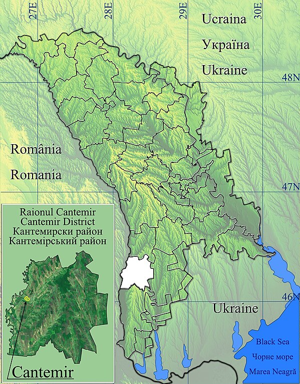
Română: Harta de localizare raionul Cantemir, Moldova.
|
| Date | |
| Source | Topographic data SRTM from NASA and World Imagery & 3DEM & Inkscape |
| Author | Asybaris01 |
Licensing
edit
| This file is in the public domain in the United States because it was solely created by NASA. NASA copyright policy states that "NASA material is not protected by copyright unless noted". (See Template:PD-USGov, NASA copyright policy page or JPL Image Use Policy.) | ||
 |
Warnings:
|
File history
Click on a date/time to view the file as it appeared at that time.
| Date/Time | Thumbnail | Dimensions | User | Comment | |
|---|---|---|---|---|---|
| current | 06:54, 12 February 2012 | | 1,125 × 1,441 (493 KB) | Asybaris01 (talk | contribs) | new concept |
| 19:30, 7 February 2012 |  | 1,349 × 1,731 (555 KB) | Asybaris01 (talk | contribs) | {{Information |Description ={{ro|1=Harta de localizare raionul Cantemir, Moldova.}} |Source =Topographic data SRTM from NASA and World Imagery & 3DEM & Inkscape |Author =Asybaris01 |Date =feb 2012 |Permissi |
You cannot overwrite this file.
File usage on Commons
There are no pages that use this file.
File usage on other wikis
The following other wikis use this file:
- Usage on ar.wikipedia.org
- Usage on ceb.wikipedia.org
- Usage on da.wikipedia.org
- Usage on en.wikipedia.org
- Cantemir, Moldova
- Cania
- Tartaul
- Capaclia
- Cîrpești
- Cociulia
- Coștangalia
- Haragîș
- Stoianovca
- Șamalia
- Vișniovca
- Lărguța
- Porumbești, Cantemir
- Antonești, Cantemir
- Chioselia
- Cîietu
- Cîșla, Cantemir
- Sadîc
- Toceni
- Gotești
- Baimaclia, Cantemir
- Ciobalaccia
- Lingura
- Pleșeni
- Țiganca
- Enichioi
- Plopi, Cantemir
- Module:Location map/data/Moldova Cantemir/doc
- Module:Location map/data/Moldova Cantemir
- Usage on fa.wikipedia.org
- Usage on kn.wikipedia.org
- Usage on ro.wikipedia.org
View more global usage of this file.