File:Rajna.KK-RW 120423 ice.h.jpg

Size of this preview: 800 × 232 pixels. Other resolutions: 320 × 93 pixels | 640 × 186 pixels | 1,024 × 297 pixels | 1,280 × 371 pixels | 2,560 × 742 pixels | 12,973 × 3,761 pixels.
Original file (12,973 × 3,761 pixels, file size: 9.17 MB, MIME type: image/jpeg)
Captions
Captions
Add a one-line explanation of what this file represents
Summary
edit
| Description |
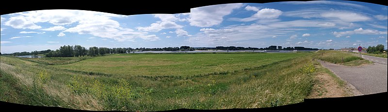
This file was uploaded with Commonist. Hrvatski: Rijeka Rajna napušta Emmerich na Rajni Njemačku i ulazi u općinu Rijnwarden (Nizozemska)
English: River Rhine leaving Emmerich am Rhine and entering Rijnwarden municipality (the Netherlands) |
| Date | |
| Source | Own work |
| Author | Quahadi Añtó 12:05, 18 June 2017 (UTC) |
| Camera location | | View this and other nearby images on: OpenStreetMap |
|---|
Licensing
edit
I, the copyright holder of this work, hereby publish it under the following license:
This file is licensed under the Creative Commons Attribution-Share Alike 4.0 International license.
- You are free:
- to share – to copy, distribute and transmit the work
- to remix – to adapt the work
- Under the following conditions:
- attribution – You must give appropriate credit, provide a link to the license, and indicate if changes were made. You may do so in any reasonable manner, but not in any way that suggests the licensor endorses you or your use.
- share alike – If you remix, transform, or build upon the material, you must distribute your contributions under the same or compatible license as the original.
File history
Click on a date/time to view the file as it appeared at that time.
| Date/Time | Thumbnail | Dimensions | User | Comment | |
|---|---|---|---|---|---|
| current | 12:05, 18 June 2017 | 12,973 × 3,761 (9.17 MB) | Quahadi (talk | contribs) |
You cannot overwrite this file.
File usage on Commons
The following page uses this file: