File:Ramfjordneset 2013.08 (cropped).jpg
Size of this preview: 800 × 450 pixels. Other resolutions: 320 × 180 pixels | 640 × 360 pixels | 1,024 × 576 pixels | 1,602 × 901 pixels.
Original file (1,602 × 901 pixels, file size: 386 KB, MIME type: image/jpeg)
Captions
Captions
Add a one-line explanation of what this file represents
Summary
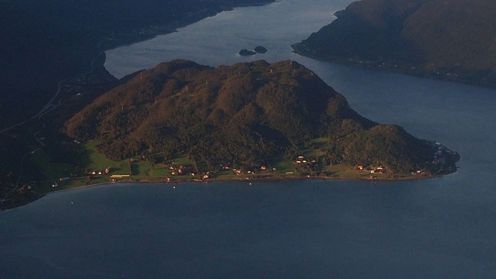
edit| Description | Aerial View of Ramfjord - 2013.08 |
| Date | Taken on 11 August 2013 |
| Source | https://web.archive.org/web/20161102035602/http://www.panoramio.com/photo/118693750 |
| Author | rheins |
| Permission (Reusing this file) |
This file is licensed under the Creative Commons Attribution 3.0 Unported license. Attribution: rheins
|
| Other versions | |
| Panoramio Tags | Tromsø, 挪威 - Norway |

.jpg&action=edit§ion=1)
| Object location | | View this and other nearby images on: OpenStreetMap |
|---|
.jpg¶ms=069.533350_N_0019.003650_E_globe:Earth_class:object_type:object__&language=en)
| Camera location | | View this and other nearby images on: OpenStreetMap |
|---|
.jpg¶ms=069.510977_N_0018.934937_E_globe:Earth_type:camera_source:Panoramio_&language=en)
File history
Click on a date/time to view the file as it appeared at that time.
| Date/Time | Thumbnail | Dimensions | User | Comment | |
|---|---|---|---|---|---|
| current | 08:26, 16 December 2023 | | 1,602 × 901 (386 KB) | Hjart (talk | contribs) | File:Aerial View of Ramfjord - 2013.08 - panoramio.jpg cropped 64 % horizontally, 64 % vertically using CropTool with lossless mode. |
You cannot overwrite this file.
File usage on Commons
The following page uses this file:
File usage on other wikis
The following other wikis use this file:
- Usage on da.wikipedia.org
- Usage on www.wikidata.org
.jpg&oldid=831190566)