File:RaymoreDriveMap.png

Size of this preview: 800 × 514 pixels. Other resolutions: 320 × 206 pixels | 640 × 411 pixels | 882 × 567 pixels.
Original file (882 × 567 pixels, file size: 70 KB, MIME type: image/png)
Captions
Captions
Add a one-line explanation of what this file represents
| Description |
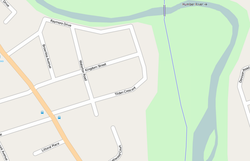
English: This map of Raymore Drive was created from OpenStreetMap project data, collected by the community. This map may be incomplete, and may contain errors. Don't rely solely on it for navigation. |
| Date | (UTC) |
| Source | openstreetmap.org |
| Author | OpenStreetMap contributors; Maxim made the derivative. |
| Permission (Reusing this file) |
All OpenStreetMap data and maps are Creative Commons "CC-BY-SA 2.0" licensed This file is licensed under the Creative Commons Attribution-Share Alike 2.0 Generic license.
|
File history
Click on a date/time to view the file as it appeared at that time.
| Date/Time | Thumbnail | Dimensions | User | Comment | |
|---|---|---|---|---|---|
| current | 01:37, 7 September 2009 | | 882 × 567 (70 KB) | Maxim (talk | contribs) | {{Information |Description={{en|This map of Raymore Drive was created from OpenStreetMap project data, collected by the community. <small>This map may be incomplete, and may contain errors. Don't rely solely on it for navigation.</small>}} |Source=[ht |
You cannot overwrite this file.
File usage on Commons
There are no pages that use this file.
File usage on other wikis
The following other wikis use this file:
- Usage on en.wikipedia.org