File:Reclaiming our History- The African Burial Ground in New York (bb61ecb8-1dd8-b71b-0bef-9bbe6b2cfd3a).JPG

Size of this preview: 800 × 600 pixels. Other resolutions: 320 × 240 pixels | 640 × 480 pixels | 1,024 × 768 pixels | 1,280 × 960 pixels | 2,560 × 1,920 pixels.
Original file (2,560 × 1,920 pixels, file size: 2.32 MB, MIME type: image/jpeg)
Captions
Captions
Add a one-line explanation of what this file represents

|
The categories of this image need checking. You can do so here.
|
.JPG&action=edit&withJS=MediaWiki:Catcheck.js)
Summary
edit.JPG&action=edit§ion=1)
| English: Reclaiming our History: The African Burial Ground in New York | ||||
|---|---|---|---|---|
| Photographer |
English: NPS Photo |
|||
| Title |
English: Reclaiming our History: The African Burial Ground in New York |
|||
| Publisher |
English: U.S. National Park Service |
|||
| Description |
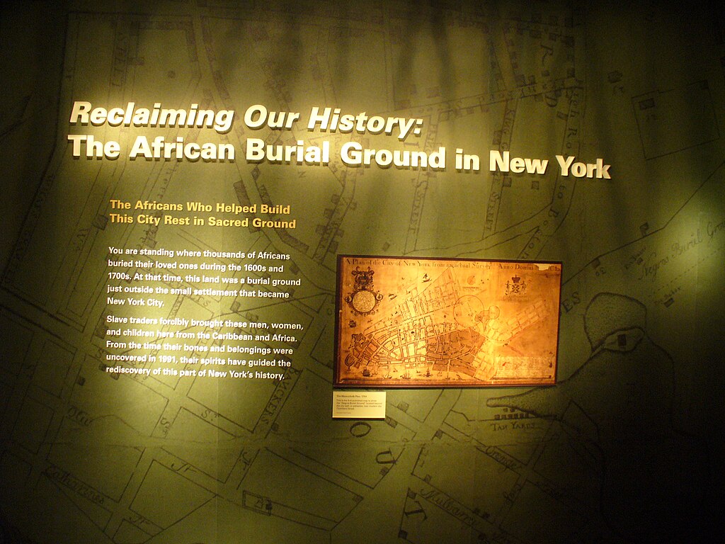
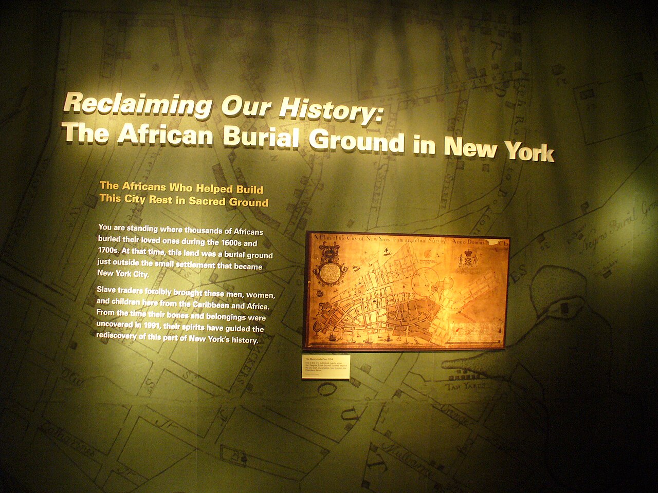
English: A green exhibit panel features text and a the Maerschalk plan of the City of New York The Maerschalk plan of the City of New York is a historic map made in 1754 that clearly shows the African Burial Ground and its surrounding neighborhood
|
|||
| Depicted place |
English: Harpers Ferry Center |
|||
| Date | Taken on 30 June 2010 | |||
| Accession number | ||||
| Source |
English: NPGallery |
|||
| Permission (Reusing this file) |
|
|||
| NPS Unit Code | HFC | |||
| Album(s) | English: African Burial Ground National Monument |
|||
File history
Click on a date/time to view the file as it appeared at that time.
| Date/Time | Thumbnail | Dimensions | User | Comment | |
|---|---|---|---|---|---|
| current | 12:40, 14 May 2024 | | 2,560 × 1,920 (2.32 MB) | BMacZeroBot (talk | contribs) | Batch upload (Commons:Batch uploading/NPGallery) |
You cannot overwrite this file.
File usage on Commons
There are no pages that use this file.
.JPG&oldid=876392686)