File:Recumbent Stone Circle nr Strichen - panoramio.jpg

Size of this preview: 800 × 452 pixels. Other resolutions: 320 × 181 pixels | 640 × 362 pixels | 1,024 × 579 pixels | 1,280 × 724 pixels | 2,688 × 1,520 pixels.
Original file (2,688 × 1,520 pixels, file size: 2.3 MB, MIME type: image/jpeg)
Captions
Captions
Add a one-line explanation of what this file represents
Summary edit
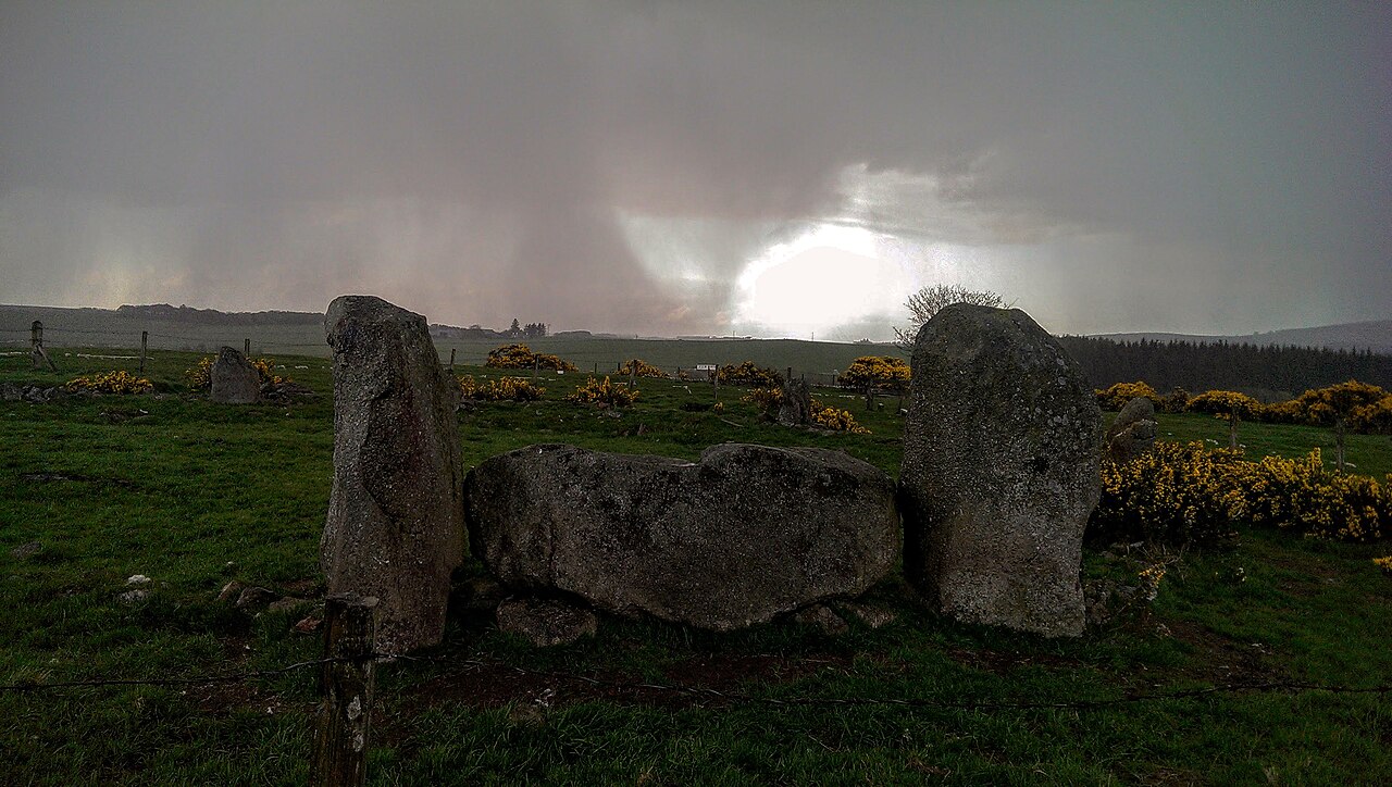
| Description | Recumbent Stone Circle nr Strichen | ||
| Date | Taken on 11 May 2015 | ||
| Source | https://web.archive.org/web/20161031152841/http://www.panoramio.com/photo/122302031 | ||
| Author | ED McIntosh | ||
| Permission (Reusing this file) |
This file is licensed under the Creative Commons Attribution-Share Alike 3.0 Unported license. Attribution: ED McIntosh
|
||
| Panoramio Tags | Aberdeenshire |
| Camera location | | View this and other nearby images on: OpenStreetMap |
|---|
File history
Click on a date/time to view the file as it appeared at that time.
| Date/Time | Thumbnail | Dimensions | User | Comment | |
|---|---|---|---|---|---|
| current | 04:21, 2 June 2017 | | 2,688 × 1,520 (2.3 MB) | Panoramio upload bot (talk | contribs) | == {{int:filedesc}} == {{Information |description=Recumbent Stone Circle nr Strichen |date={{Taken on|2015-05-11}} |source=http://www.panoramio.com/photo/122302031 |author=[http://www.panoramio.com/user/7948660?with_photo_id=122302031 ED McIntosh] |per... |
You cannot overwrite this file.
File usage on Commons
There are no pages that use this file.