File:Red River Floodway, East St. Paul - panoramio.jpg

Size of this preview: 800 × 496 pixels. Other resolutions: 320 × 199 pixels | 640 × 397 pixels | 1,024 × 635 pixels | 1,280 × 794 pixels | 2,560 × 1,588 pixels | 3,346 × 2,076 pixels.
Original file (3,346 × 2,076 pixels, file size: 2.57 MB, MIME type: image/jpeg)
Captions
Captions
Add a one-line explanation of what this file represents
Summary
edit
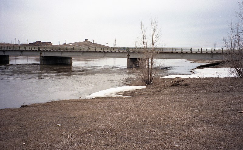
| Description | Red River Floodway, East St. Paul | ||
| Date | Taken on 4 May 1997 | ||
| Source | https://web.archive.org/web/20161029054219/http://www.panoramio.com/photo/96044643 | ||
| Author | Bob Linsdell | ||
| Permission (Reusing this file) |
This file is licensed under the Creative Commons Attribution 3.0 Unported license. Attribution: Bob Linsdell
|
||
| Tags (from Panoramio photo page) | Springfield |
| Camera location | | View this and other nearby images on: OpenStreetMap |
|---|
File history
Click on a date/time to view the file as it appeared at that time.
| Date/Time | Thumbnail | Dimensions | User | Comment | |
|---|---|---|---|---|---|
| current | 18:33, 2 March 2017 | | 3,346 × 2,076 (2.57 MB) | Panoramio upload bot (talk | contribs) | == {{int:filedesc}} == {{Information |description=Red River Floodway, East St. Paul |date={{Taken on|1997-05-04}} |source=http://www.panoramio.com/photo/96044643 |author=[http://www.panoramio.com/user/7508506?with_photo_id=96044643 Bob Linsdell] |permi... |
You cannot overwrite this file.
File usage on Commons
There are no pages that use this file.