File:Reims — Plan du guide Baedeker de 1908 (01) (rue Université).jpg
No higher resolution available.
Reims_—_Plan_du_guide_Baedeker_de_1908_(01)_(rue_Université).jpg (498 × 530 pixels, file size: 195 KB, MIME type: image/jpeg)
Captions
Captions
Add a one-line explanation of what this file represents
Summary
edit| Description |
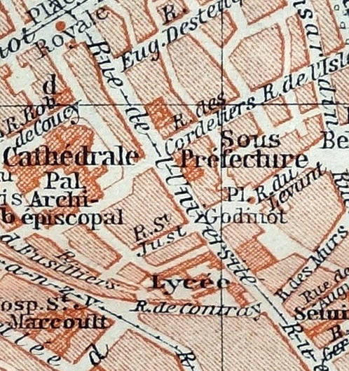
Français : Plan de la Ville de Reims (France - dép. de la Marne) — Guide Baedeker de 1908 |
| Date | |
| Source | Collection personnelle |
| Author |
"Baedeker Nord-Est De La France". Édition de 1908 Geograph. Anstalt von Wagner & Debes, Leipzig. / Gravé et imprimé par Wagner & Debes, Leipzig. |
| Other versions |
.jpg)
_(rue_Universit%C3%A9).jpg&action=edit§ion=1)
| Camera location | | View this and other nearby images on: OpenStreetMap |
|---|
_(rue_Universit%C3%A9).jpg¶ms=049.250000_N_0004.033000_E_globe:Earth_type:camera__&language=en)
Licensing
edit_(rue_Universit%C3%A9).jpg&action=edit§ion=2)
|
This work is in the public domain in its country of origin and other countries and areas where the copyright term is the author's life plus 70 years or fewer. This work is in the public domain in the United States because it was published (or registered with the U.S. Copyright Office) before January 1, 1929. | |
| This file has been identified as being free of known restrictions under copyright law, including all related and neighboring rights. | |
File history
Click on a date/time to view the file as it appeared at that time.
| Date/Time | Thumbnail | Dimensions | User | Comment | |
|---|---|---|---|---|---|
| current | 10:37, 14 November 2019 | | 498 × 530 (195 KB) | Gérald Garitan (talk | contribs) | File:Reims — Plan du guide Baedeker de 1908 (01).jpg cropped 84 % horizontally, 87 % vertically using CropTool with precise mode. |
You cannot overwrite this file.
File usage on Commons
The following 2 pages use this file:
File usage on other wikis
The following other wikis use this file:
- Usage on fr.wikipedia.org
_(rue_Université).jpg&oldid=741195933)