File:Rejno ĉe Strasburgo-Kehl, piliero de la tramponto, 1.jpeg

Size of this preview: 800 × 478 pixels. Other resolutions: 320 × 191 pixels | 640 × 383 pixels | 1,024 × 612 pixels | 1,280 × 765 pixels | 2,560 × 1,530 pixels | 4,350 × 2,600 pixels.
Original file (4,350 × 2,600 pixels, file size: 3.63 MB, MIME type: image/jpeg)
Captions
Captions
Add a one-line explanation of what this file represents
Summary
edit
| Description |
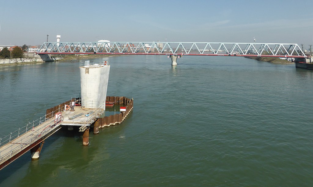
Deutsch: Der Pfeiler der neuen Trambrücke über den Rhein zwischen Straßburg und Kehl; im Hintergrund die Eisenbahnbrücke.
Esperanto: La piliero de la konstruata trama ponto super Rejno inter Strasburgo (FR) kaj Kehl (DE); fone la fervoja ponto.
Français : Le pilier du pont du tramway sur le Rhin entre Strasbourg (FR) et Kehl (DE); en arrière-plan le pont ferroviaire. |
| Date | |
| Source | Self-photographed |
| Author | Aisano |
| Camera location | | View this and other nearby images on: OpenStreetMap |
|---|
Licensing
edit
I, the copyright holder of this work, hereby publish it under the following license:
This file is licensed under the Creative Commons Attribution-Share Alike 3.0 Unported license.
- You are free:
- to share – to copy, distribute and transmit the work
- to remix – to adapt the work
- Under the following conditions:
- attribution – You must give appropriate credit, provide a link to the license, and indicate if changes were made. You may do so in any reasonable manner, but not in any way that suggests the licensor endorses you or your use.
- share alike – If you remix, transform, or build upon the material, you must distribute your contributions under the same or compatible license as the original.
File history
Click on a date/time to view the file as it appeared at that time.
| Date/Time | Thumbnail | Dimensions | User | Comment | |
|---|---|---|---|---|---|
| current | 13:09, 13 April 2015 | | 4,350 × 2,600 (3.63 MB) | Renardo la vulpo (talk | contribs) | {{Information |Description ={{de|1=Der Pfeiler der neuen Trambrücke über den Rhein zwischen Straßburg und Kehl; im Hintergrund die Eisenbahnbrücke.}} {{eo|1=La piliero de la konstruata trama ponto super Rejno inter Strasburgo (FR) kaj Kehl (DE);... |
You cannot overwrite this file.
File usage on Commons
The following 2 pages use this file: