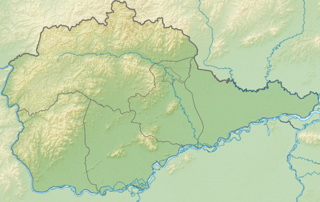
File:Relief Map of Jewish AO.png

Size of this preview: 800 × 507 pixels. Other resolutions: 320 × 203 pixels | 640 × 405 pixels | 1,024 × 648 pixels | 1,246 × 789 pixels.
Original file (1,246 × 789 pixels, file size: 1.92 MB, MIME type: image/png)
Captions
Captions
Add a one-line explanation of what this file represents
Summary
edit| Description |
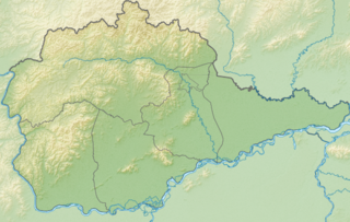
Русский: Физическая карта Еврейской автономной области Координаты краёв:
|
| Date | |
| Source | |
| Author | Виктор В |
| Other versions |
|

Licensing
edit
| I, the copyright holder of this work, release this work into the public domain. This applies worldwide. In some countries this may not be legally possible; if so: I grant anyone the right to use this work for any purpose, without any conditions, unless such conditions are required by law. |
File history
Click on a date/time to view the file as it appeared at that time.
| Date/Time | Thumbnail | Dimensions | User | Comment | |
|---|---|---|---|---|---|
| current | 11:13, 1 January 2016 | | 1,246 × 789 (1.92 MB) | Pticy uleteli (talk | contribs) | унификация разрешения с Outline Map of Jewish AO.svg для корректного наложения [[:Шаблон:ПозКарта Россия Еврейская автономная область/adm|карты изобра... |
| 05:09, 24 July 2010 |  | 600 × 380 (452 KB) | Виктор В (talk | contribs) | == {{int:filedesc}} == {{Information |Description={{ru|1=Физическая карта Еврейской автономной области<br\>Координаты краёв: * север — 49.5° С * юг — 47.6° С * запад — 130.5° � |
You cannot overwrite this file.
File usage on Commons
The following page uses this file:
File usage on other wikis
The following other wikis use this file:
- Usage on ar.wikipedia.org
- Usage on be.wikipedia.org
- Usage on bg.wikipedia.org
- Биробиджан
- Шаблон:ПК Русия Еврейска автономна област
- Облучие
- Абрамовка
- Башурово
- Бира (Русия)
- Биракан
- Будукан
- Двуречие (Русия)
- Заречное
- Известковий
- Кимкан
- Кулдур
- Лагар-Аул
- Лондоко
- Лондоко завод
- Новий (Еврейска автономна област)
- Пашково (Еврейска автономна област)
- Радде
- Рудное (Еврейска автономна област)
- Семисточний
- Снарский
- Сутара
- Соловьовка
- Ударний (Еврейска автономна област)
- Трек (Еврейска автономна област)
- Теплоозьорск
- Тьоплие Ключи
- Хинганск
- Usage on ceb.wikipedia.org
- Usage on ce.wikipedia.org
- Usage on cs.wikipedia.org
- Usage on da.wikipedia.org
- Usage on de.wikipedia.org
- Usage on en.wikipedia.org
- Usage on eo.wikipedia.org
- Usage on es.wikipedia.org
- Usage on fa.wikipedia.org
- Usage on fi.wikipedia.org
- Usage on frr.wikipedia.org
- Usage on fr.wikipedia.org
View more global usage of this file.