File:Relief Map of Tajikistan.png

Size of this preview: 790 × 599 pixels. Other resolutions: 316 × 240 pixels | 633 × 480 pixels.
Original file (800 × 607 pixels, file size: 530 KB, MIME type: image/png)
Captions
Captions
Add a one-line explanation of what this file represents
Summary
edit
| Description |
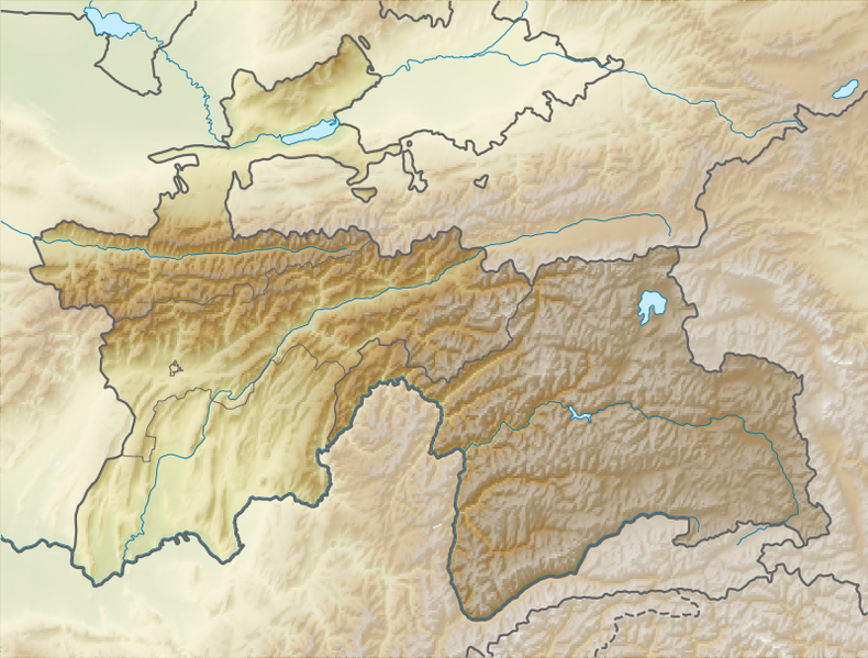
Equirectangular projection, N/S stretching 130 %. Geographic limits of the map:
|
| Date | |
| Source |
|
| Author |
|
| Permission (Reusing this file) |
This file is licensed under the Creative Commons Attribution-Share Alike 3.0 Unported license.
|
File history
Click on a date/time to view the file as it appeared at that time.
| Date/Time | Thumbnail | Dimensions | User | Comment | |
|---|---|---|---|---|---|
| current | 17:03, 21 October 2013 | | 800 × 607 (530 KB) | NordNordWest (talk | contribs) | upd |
| 13:19, 27 August 2010 |  | 800 × 607 (592 KB) | Виктор В (talk | contribs) | == {{int:filedesc}} == {{Information |Description={{en|Relief map of Tajikistan}} Equirectangular projection, N/S stretching 130 %. Geographic limits of the map: * N: 41.3° N * S: 36.4° N * W: 67.1° E * E: 75.5° E |Source=*[[:File:T |
You cannot overwrite this file.
File usage on Commons
There are no pages that use this file.
File usage on other wikis
The following other wikis use this file:
- Usage on ast.wikipedia.org
- Usage on ceb.wikipedia.org
- Usage on eo.wikipedia.org
- Usage on es.wikipedia.org
- Usage on fa.wikipedia.org
- Usage on fi.wikipedia.org
- Usage on he.wikivoyage.org
- Usage on hi.wikipedia.org
- Usage on hu.wikipedia.org
- Usage on hu.wiktionary.org
- Usage on hy.wikipedia.org
- Usage on ilo.wikipedia.org
- Usage on la.wikipedia.org
- Usage on mhr.wikipedia.org
- Usage on ml.wikipedia.org
- Usage on sk.wikipedia.org
- Usage on sv.wikivoyage.org
- Usage on th.wikipedia.org
- Usage on uk.wikipedia.org
- Usage on war.wikipedia.org