File:Relief map of Spain Basque Country (cropped).png
Size of this preview: 766 × 600 pixels. Other resolutions: 307 × 240 pixels | 613 × 480 pixels | 981 × 768 pixels | 1,280 × 1,003 pixels | 1,758 × 1,377 pixels.
Original file (1,758 × 1,377 pixels, file size: 3.17 MB, MIME type: image/png)
Captions
Captions
Add a one-line explanation of what this file represents
Summary edit
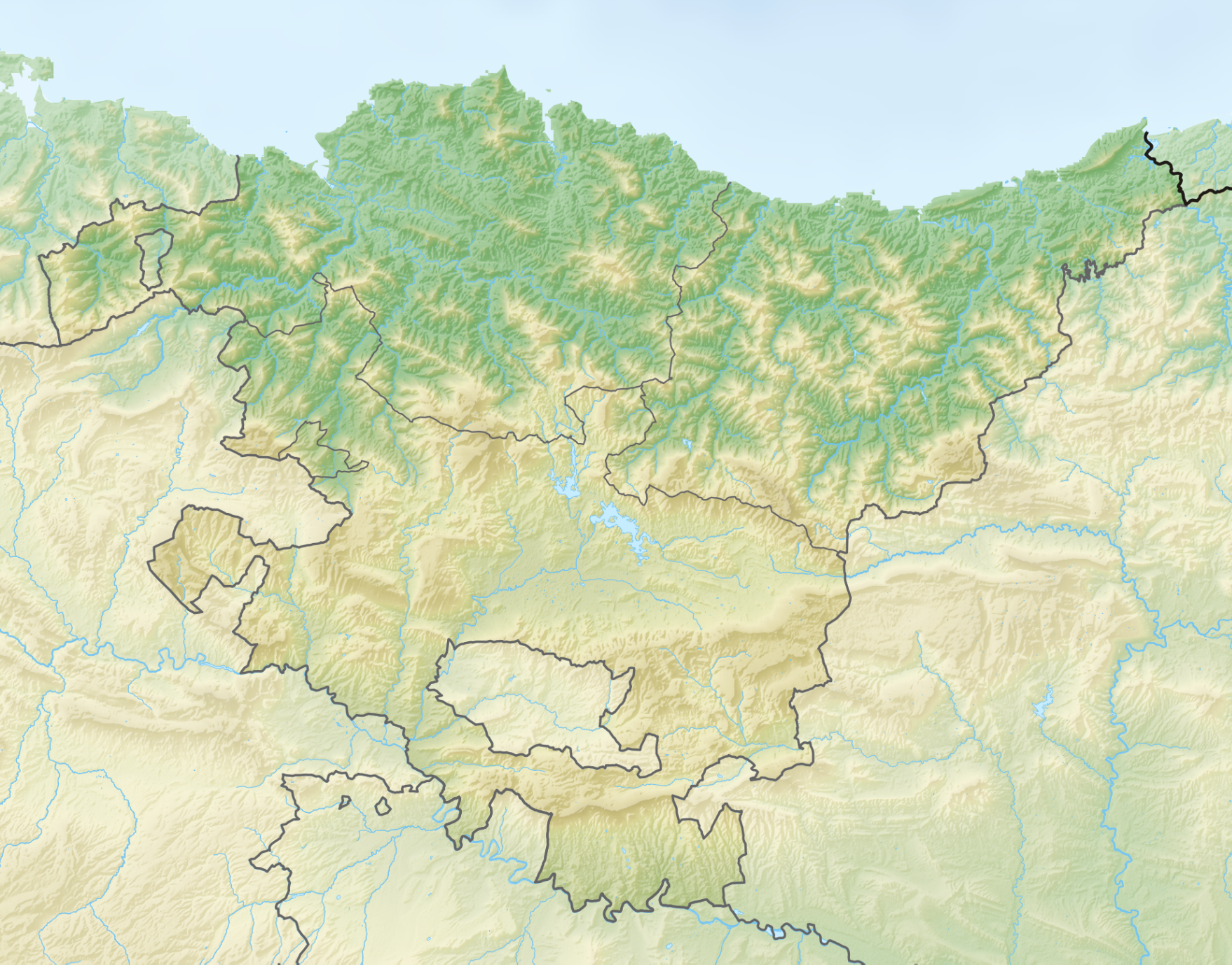
| Description |
English: A relief map of the Basque Country, compatible with File:Basque Country location map.svg. |
| Date | |
| Source | |
| Author | Tschubby |

.png&action=edit§ion=1)
Licensing edit
.png&action=edit§ion=2)
I, the copyright holder of this work, hereby publish it under the following license:
This file is licensed under the Creative Commons Attribution-Share Alike 4.0 International license.
- You are free:
- to share – to copy, distribute and transmit the work
- to remix – to adapt the work
- Under the following conditions:
- attribution – You must give appropriate credit, provide a link to the license, and indicate if changes were made. You may do so in any reasonable manner, but not in any way that suggests the licensor endorses you or your use.
- share alike – If you remix, transform, or build upon the material, you must distribute your contributions under the same or compatible license as the original.
File history
Click on a date/time to view the file as it appeared at that time.
| Date/Time | Thumbnail | Dimensions | User | Comment | |
|---|---|---|---|---|---|
| current | 20:52, 11 October 2022 | | 1,758 × 1,377 (3.17 MB) | Santi2222 (talk | contribs) | Uploaded own work with UploadWizard |
You cannot overwrite this file.
File usage on Commons
There are no pages that use this file.
File usage on other wikis
The following other wikis use this file:
- Usage on en.wikipedia.org
- Bilbao
- Gorbea
- Oiz
- La Hoya, Álava
- San Adrian (tunnel)
- Module:Location map/data/Spain Basque Country/doc
- Botanical Garden of Santa Catalina
- Salburua
- Lake Arreo
- Delika canyon
- Izki Natural Park
- Ullíbarri-Gamboa Reservoir
- User:Michael!/Project:Location map templates/Spain
- Sequoia of Vitoria-Gasteiz
- Cave of Altxerri
- Eulen Open Galea
- Armintxe Cave
- Siege of Fuenterrabía (1523–1524)
- Module:Location map/data/Spain Basque Country
- Basque Coast Geopark
- Lagunas de Laguardia
- Añana Diapir
- Karakate
- Malmasín
- Sollube
- Draft:Kapildui
- Usage on si.wikipedia.org
- Usage on uz.wikipedia.org
.png&oldid=817746656)