File:Reliefkarte Thurgau blank.png
Size of this preview: 755 × 599 pixels. Other resolutions: 303 × 240 pixels | 605 × 480 pixels | 968 × 768 pixels | 1,280 × 1,016 pixels | 2,055 × 1,631 pixels.
Original file (2,055 × 1,631 pixels, file size: 3.07 MB, MIME type: image/png)
Captions
Captions
Add a one-line explanation of what this file represents
| Description |
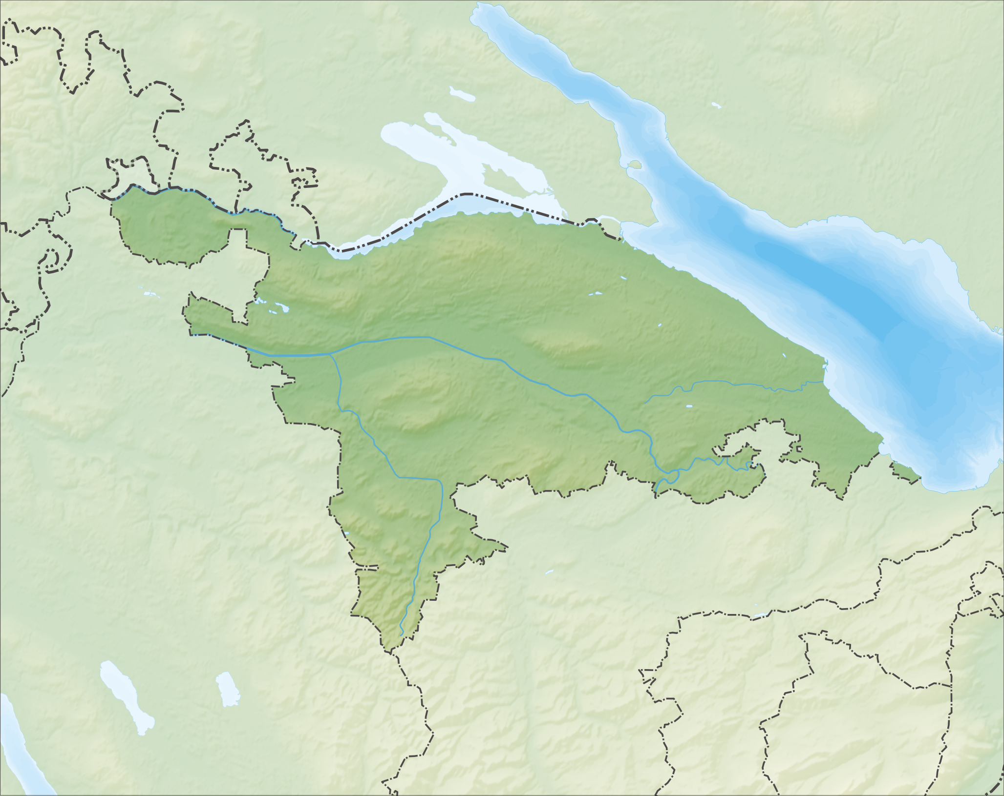
Deutsch: Reliefkarte des Kantons Thurgau
Topographischer Hintergrund: NASA Shuttle Radar Topography Mission (public domain). SRTM3 v.2. |
||||||||
| Date | |||||||||
| Source | Own work | ||||||||
| Author | Tschubby | ||||||||
| Permission (Reusing this file) |
I, the copyright holder of this work, hereby publish it under the following licenses:
This file is licensed under the Creative Commons Attribution-Share Alike 2.5 Generic, 2.0 Generic and 1.0 Generic license.
You may select the license of your choice. |
||||||||
| Other versions |
 |

File history
Click on a date/time to view the file as it appeared at that time.
| Date/Time | Thumbnail | Dimensions | User | Comment | |
|---|---|---|---|---|---|
| current | 11:27, 6 December 2013 | | 2,055 × 1,631 (3.07 MB) | Tschubby (talk | contribs) | {{Information |Description= {{de| Reliefkarte des Kantons Thurgau}} Topographischer Hintergrund: [http://www2.jpl.nasa.gov/srtm NASA Shuttle Radar Topography Mission] (public domain). SRTM3 v.2. |Source={{own}} |Date= 2013-12-06 |Author= [[:de:User:Tsc... |
You cannot overwrite this file.
File usage on Commons
There are no pages that use this file.
File usage on other wikis
The following other wikis use this file:
- Usage on de.wikipedia.org
- Ruine Last
- Ruine Alt-Bichelsee
- Burg Liebenfels (Thurgau)
- Seerücken
- Konstanzer Trichter
- Nollen
- Schloss Oetlishausen
- Hüttwilersee
- Hasensee (Uesslingen-Buch)
- Stählibuckturm
- Stählibuck
- Wikipedia:Kartenwerkstatt/Positionskarten/Europa
- Evangelische Kirche Steckborn
- Benutzer:Taxomex/Baustelle
- Tobelweiher (Berg)
- Vorlage:Positionskarte Schweiz Thurgau
- Seeburgturm
- Gewerbeturm Amriswil
- Jubla-Turm Sirnach
- Nussbaumersee
- Glimmersandgrube Helsighausen
- Staanegger Weier
- Napoleonturm (Hohenrain)
- Bommer Weiher
- Benutzer:Tschubby/Reliefkarten
- Barchetsee
- Naturschutzgebiet Lengwiler Weiher
- Altnauer Steg
- Altenburg (Märstetten)
- Kraftwerk Schönenberg
- Bichelsee (Gewässer)
- Rodenberg (Berg)
- Ruine Tannegg
- Ottenberg TG
- Schloss Roggwil
- Wildern
- Schloss Wolfsberg (Ermatingen)
- Ruine Spiegelberg (Wetzikon TG)
- Burgruine Anwil-Buhwil
- Benutzerin:Ruth Hockarth/Artikelentwurf
- Burgruine Castell
- Burg Heitnau
- Ruine Tuttwilerberg
- Burg Unterhof
- Burgruine Heuberg
- Wulesaueninsle
- Naturschutzgebiet Tongrube Paradies
- Naturschutzgebiet Schaarenwies/Schaarenwald
- Naturschutzgebiet Schaarenwis
- Girsbergtunnel
View more global usage of this file.