File:Reliefkarte Waadt Aussichtstürme.png

Size of this preview: 711 × 600 pixels. Other resolutions: 285 × 240 pixels | 569 × 480 pixels | 910 × 768 pixels | 1,214 × 1,024 pixels | 2,427 × 2,048 pixels | 3,110 × 2,624 pixels.
Original file (3,110 × 2,624 pixels, file size: 5.24 MB, MIME type: image/png)
Captions
Captions
Add a one-line explanation of what this file represents
Summary
edit| Description |
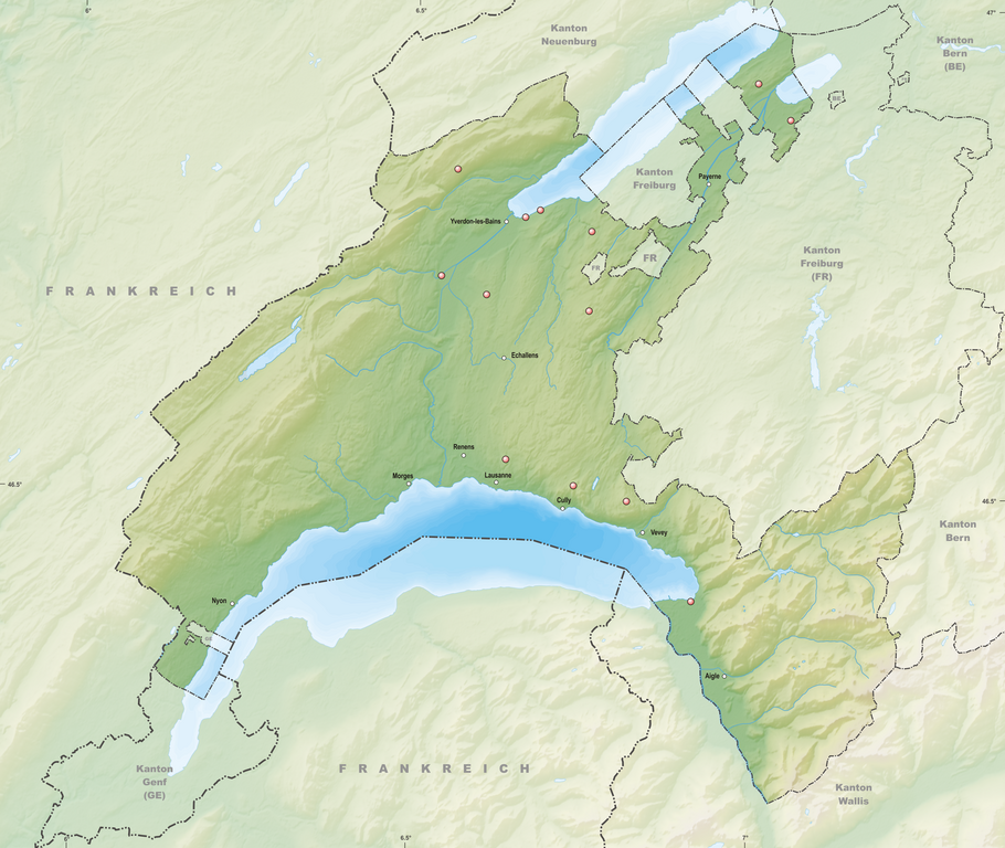
Deutsch: Aussichtstürme des Kantons Waadt
Topographischer Hintergrund: NASA Shuttle Radar Topography Mission (public domain). SRTM3 v.2. |
||||||||
| Date | |||||||||
| Source | Own work | ||||||||
| Author | Tschubby | ||||||||
| Permission (Reusing this file) |
I, the copyright holder of this work, hereby publish it under the following licenses:
This file is licensed under the Creative Commons Attribution-Share Alike 2.5 Generic, 2.0 Generic and 1.0 Generic license.
You may select the license of your choice. |

File history
Click on a date/time to view the file as it appeared at that time.
| Date/Time | Thumbnail | Dimensions | User | Comment | |
|---|---|---|---|---|---|
| current | 17:23, 26 December 2021 | | 3,110 × 2,624 (5.24 MB) | Tschubby (talk | contribs) | {{Information |Description= |Source= |Date= |Author= |Permission= |other_versions= }} |
| 12:06, 29 May 2021 |  | 3,110 × 2,624 (5.24 MB) | Tschubby (talk | contribs) | {{Information |Description= |Source= |Date= |Author= |Permission= |other_versions= }} | |
| 10:55, 4 May 2021 |  | 3,110 × 2,624 (5.24 MB) | Tschubby (talk | contribs) | {{Information |Description= {{de| Aussichtstürme des Kantons Waadt}} Topographischer Hintergrund: [http://www2.jpl.nasa.gov/srtm NASA Shuttle Radar Topography Mission] (public domain). SRTM3 v.2. |Source={{own}} |Date= 2021-05-04 |Author= Tschubby |Permission= {{self|GFDL|Cc-by-sa-3.0-migrated|Cc-by-sa-2.5,2.0,1.0}} |other_versions= }} Waadt |
You cannot overwrite this file.
File usage on Commons
The following page uses this file:
File usage on other wikis
The following other wikis use this file:
- Usage on de.wikipedia.org