File:Reproducció d'un mapa dels Pirineus.jpeg
Size of this preview: 797 × 600 pixels. Other resolutions: 319 × 240 pixels | 638 × 480 pixels | 1,021 × 768 pixels.
Original file (1,021 × 768 pixels, file size: 186 KB, MIME type: image/jpeg)
Captions
Captions
Add a one-line explanation of what this file represents
Summary
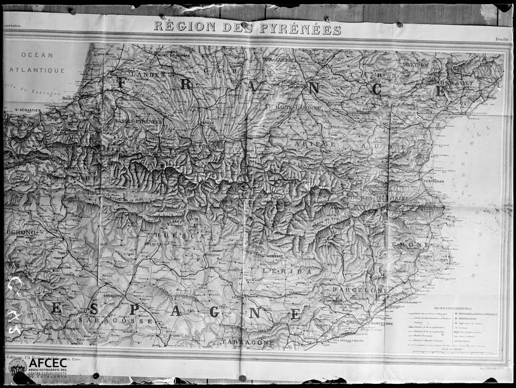
edit| Català: Reproducció d'un mapa dels Pirineus
( |
||||||||||||||||||
|---|---|---|---|---|---|---|---|---|---|---|---|---|---|---|---|---|---|---|
| Photographer |
|
|||||||||||||||||
| Title |
Català: Reproducció d'un mapa dels Pirineus |
|||||||||||||||||
| Original caption |
Imatge |
|||||||||||||||||
| Description |
Català: Reproducció d'un mapa dels Pirineus. Juli Soler i Santaló (Entre 1900 i 1914) |
|||||||||||||||||
| Depicted place | Pirineus (Espanya) | |||||||||||||||||
| Date | Entre 1900 i 1914 | |||||||||||||||||
| Dimensions | 9 x 12 cm. | |||||||||||||||||
| Collection |
|
|||||||||||||||||
| Current location |
Fons Juli Soler i Santaló |
|||||||||||||||||
| Accession number |
AFCEC_SOLER_C_0042 |
|||||||||||||||||
| Credit line | Centre Excursionista de Catalunya (depositor) | |||||||||||||||||
| Source | http://mdc.csuc.cat/cdm/singleitem/collection/afceccf/id/25769/rec/1645 | |||||||||||||||||
| Permission (Reusing this file) |
|
|||||||||||||||||
_(cropped).jpeg)

File history
Click on a date/time to view the file as it appeared at that time.
| Date/Time | Thumbnail | Dimensions | User | Comment | |
|---|---|---|---|---|---|
| current | 12:53, 30 March 2019 | | 1,021 × 768 (186 KB) | KRLS (talk | contribs) | == {{int:filedesc}} == {{Photograph |photographer = {{Creator:Juli Soler i Santaló}} |title = {{ca|Reproducció d'un mapa dels Pirineus}} |description = {{ca|''Reproducció d'un mapa dels Pirineus''. Juli Soler i Santaló (Entre 1900 i 1914)}} |depicted people = |depicted place = Pirineus (Espanya) |date = Entre 1900 i 1914 |medium = |dimensions = 9 x 12 cm. |institution = {{Institution:Memòria Digital de... |
You cannot overwrite this file.
File usage on Commons
The following page uses this file: