File:Resciesa de DIte.jpg

Size of this preview: 800 × 531 pixels. Other resolutions: 320 × 213 pixels | 640 × 425 pixels | 1,024 × 680 pixels | 1,280 × 850 pixels | 2,560 × 1,700 pixels | 4,288 × 2,848 pixels.
Original file (4,288 × 2,848 pixels, file size: 6.89 MB, MIME type: image/jpeg)
Captions
Captions
Add a one-line explanation of what this file represents
46°36′08″N 11°40′38″E / 46.602139°N 11.677113°E
Summary edit
| Description |
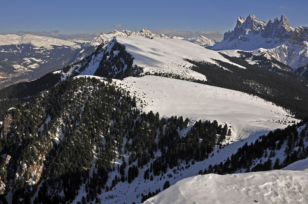
Deutsch: Raschötz English: The Resciesa alp with the Odles range |
| Date | |
| Source | Own work |
| Author | Moroder |
| Permission (Reusing this file) |
I, the copyright holder of this work, hereby publish it under the following license: This file is licensed under the Creative Commons Attribution-Share Alike 3.0 Unported license.
|
| Other versions |
 |
| Feel free to use my photos, but please mention me as the author and send me a message. |
This image is not public domain. Please respect the copyright protection. It may only be used according to the rules mentioned here. This specifically excludes use in social media, if applicable terms of the licenses listed here not appropriate.
|

| Please do not upload an updated image here without consultation with the Author. The author would like to make corrections only at his own source. This ensures that the changes are preserved.
Please if you think that any changes should be required, please inform the author. Otherwise you can upload a new image with a new name. Please use one of the templates derivative or extract. |
| Annotations | This image is annotated: View the annotations at Commons |
This image has been assessed using the Quality image guidelines and is considered a Quality image.
|
File history
Click on a date/time to view the file as it appeared at that time.
| Date/Time | Thumbnail | Dimensions | User | Comment | |
|---|---|---|---|---|---|
| current | 16:27, 29 January 2012 | | 4,288 × 2,848 (6.89 MB) | Moroder (talk | contribs) | better light |
| 12:46, 29 January 2011 |  | 4,288 × 2,848 (6.2 MB) | Moroder (talk | contribs) | {{Inline coordinates|46.602139|11.677113}} == Summary == {{Information |Description={{de|1= Raschötz}} |Source={{own}} |Author=Moroder |Date=October, 10 2010 |Permission= |other_versions= }} Category:Raschötz [[Category:Naturpark P |
You cannot overwrite this file.
File usage on Commons
The following 9 pages use this file:
- User talk:Moroder/Archives 2012-2
- Commons:Quality images/Subject/Places/Natural structures/archive 2008 to 2012
- Commons:Quality images candidates/Archives August 2012
- Commons:Quality images candidates/Archives February 2012
- File:Resciesa Mont Dedite y Danter la Montes Urtijei.jpg
- File:Resciesa Mont Dedite y Danter la Montes Urtijei cun jnevri.jpg
- File:Resciesa Mont Dedite y ëure Mont Dedora.jpg
- File:Resciesa de DIte.jpg
- File:Viersch bei Klausen Apfelbäume.jpg