File:Retje IMG 2573.jpg

Size of this preview: 800 × 600 pixels. Other resolutions: 320 × 240 pixels | 640 × 480 pixels | 1,024 × 768 pixels | 1,280 × 960 pixels | 2,560 × 1,920 pixels | 3,264 × 2,448 pixels.
Original file (3,264 × 2,448 pixels, file size: 3.53 MB, MIME type: image/jpeg)
Captions
Captions
Add a one-line explanation of what this file represents
Summary edit
| Description |
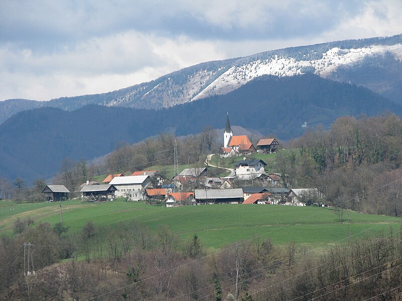
Slovenščina: Retje, tedaj zaselek Trbovelj, pod cerkvijo Svetega križa. V ozadju zasnežena Čemšeniška planina.
English: Retje, then hamlet of Trbovlje, below the Church of Saint Cross, Slovenia |
| Date | |
| Source | Own work |
| Author | romanm (talk) |
| Permission (Reusing this file) |
public domain |
| Camera location | | View this and other nearby images on: OpenStreetMap |
|---|
Licensing edit
| I, the copyright holder of this work, release this work into the public domain. This applies worldwide. In some countries this may not be legally possible; if so: I grant anyone the right to use this work for any purpose, without any conditions, unless such conditions are required by law. |
File history
Click on a date/time to view the file as it appeared at that time.
| Date/Time | Thumbnail | Dimensions | User | Comment | |
|---|---|---|---|---|---|
| current | 14:20, 23 May 2010 | | 3,264 × 2,448 (3.53 MB) | Romanm (talk | contribs) | {{Information |Description={{sl|Retje, danes zaselek Trbovelj, pod cerkvijo Svetega križa. V ozadju zasnežena Čemšeniška planina.}} {{en|Retje, nowadays hamlet of Trbovlje, below the Church of Saint Cros |
You cannot overwrite this file.
File usage on Commons
The following page uses this file:
File usage on other wikis
The following other wikis use this file:
- Usage on bs.wikipedia.org
- Usage on de.wikipedia.org
- Usage on en.wikipedia.org
- Usage on mk.wikipedia.org
- Usage on mt.wikipedia.org
- Usage on pl.wikipedia.org
- Usage on ro.wikipedia.org
- Usage on sl.wikipedia.org
- Usage on sr.wikipedia.org
- Usage on www.wikidata.org