File:Rheinpegel Mannheim Latte 740.jpg

Size of this preview: 400 × 600 pixels. Other resolutions: 160 × 240 pixels | 320 × 480 pixels | 512 × 768 pixels | 682 × 1,024 pixels | 1,365 × 2,048 pixels | 3,000 × 4,500 pixels.
Original file (3,000 × 4,500 pixels, file size: 4.25 MB, MIME type: image/jpeg)
Captions
Captions
Add a one-line explanation of what this file represents
Summary edit
| Description |
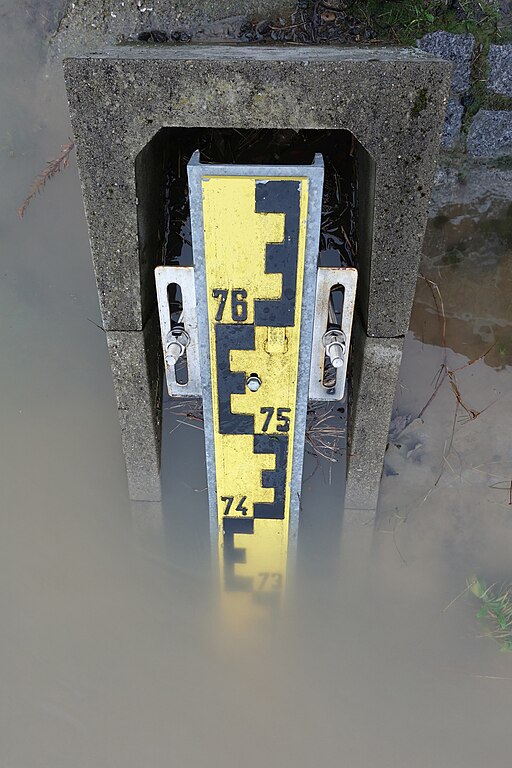
Deutsch: Rheinpegel Mannheim, oberes Ende der unteren, geneigten Pegellatte bei einem Pegelstand von 7,40 m)
English: Rhine level marker Mannheim, water level at 7.40 m |
| Date | |
| Source | Own work |
| Author | Hubert Berberich (HubiB) |
| Permission (Reusing this file) |
Foto: Hubert Berberich Wikimedia Commons (CC-BY 3.0) Deutsch: Das Bild ist bewusst so fotografiert. Falls Du es hier in Commons ändern willst, ändere bitte nicht dieses Bild, sondern lege eine Kopie an, die sich auf dieses Bild bezieht!
English: This picture is deliberately made the way it is. If you want to change it here in Commons, please do not change this picture, but make a copy referring to this picture! |
| Camera location | | View this and other nearby images on: OpenStreetMap |
|---|
Licensing edit
This file is licensed under the Creative Commons Attribution 3.0 Unported license.
- You are free:
- to share – to copy, distribute and transmit the work
- to remix – to adapt the work
- Under the following conditions:
- attribution – You must give appropriate credit, provide a link to the license, and indicate if changes were made. You may do so in any reasonable manner, but not in any way that suggests the licensor endorses you or your use.
File history
Click on a date/time to view the file as it appeared at that time.
| Date/Time | Thumbnail | Dimensions | User | Comment | |
|---|---|---|---|---|---|
| current | 17:41, 13 November 2018 | | 3,000 × 4,500 (4.25 MB) | HubiB (talk | contribs) | == {{int:filedesc}} == {{Information |Description = {{de|Rheinpegel Mannheim, oberes Ende der unteren, geneigten Pegellatte bei einem Pegelstand von 7,40 m)}} {{en|Rhine level marker Mannheim, water level at 7.40 m}} |Source = {{Own}} |Date = 2018-01-10 |Author = Hubert Berberich (HubiB) |Permission = Author: Hubert Berberich |other_versions = }} {{Location dec|49.483908|8.455272|type:landmark_region:DE-BW}} == {{int:license-header}} == {{cc-by-3.0}} [[Category:Stream gauges... |
You cannot overwrite this file.
File usage on Commons
There are no pages that use this file.
File usage on other wikis
The following other wikis use this file:
- Usage on de.wikipedia.org