File:RheinvorlandPerrich06.JPG
Size of this preview: 800 × 600 pixels. Other resolutions: 320 × 240 pixels | 640 × 480 pixels | 1,024 × 768 pixels | 1,280 × 960 pixels | 2,560 × 1,920 pixels | 4,608 × 3,456 pixels.
Original file (4,608 × 3,456 pixels, file size: 6.11 MB, MIME type: image/jpeg)
Captions
Captions
Add a one-line explanation of what this file represents
Summary
edit
| Description |
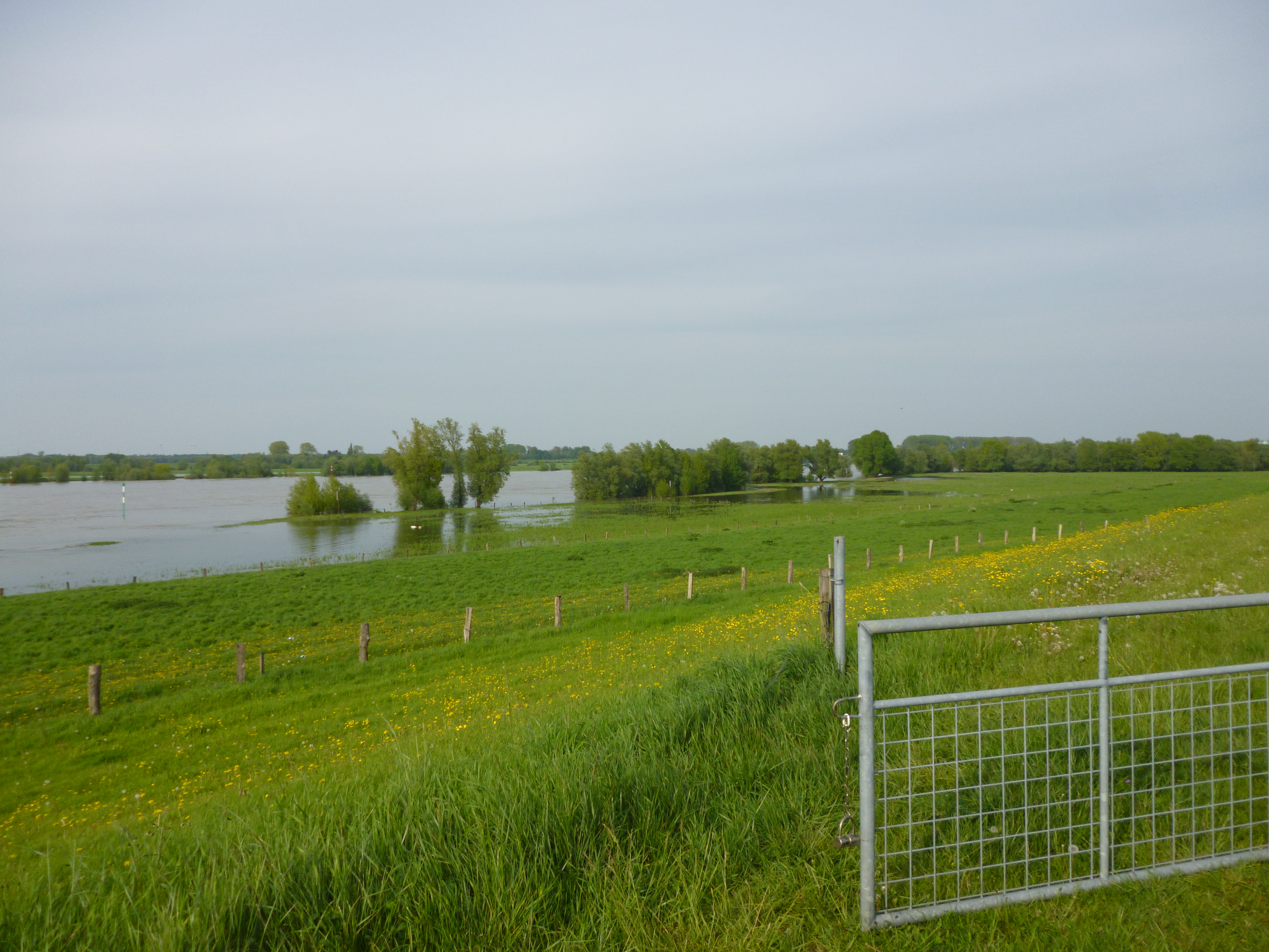
Deutsch: Rheinvorland bei Wesel-Perrich, abgebildeter Bereich im Naturschutzgebiet „Rheinaue zwischen Büderich und Perrich“ (das FFH-Gebiet „Rheinvorland bei Perrich“ liegt als Teilfläche des NSGs rechts hinter den Bäumen im Hintergrund) |
| Date | Taken on 10 May 2015 |
| Source | Self-photographed |
| Author | ᛗᚨᚱᚲᚢᛊ ᚨᛒᚱᚨᛗ |
| Camera location | | View this and other nearby images on: OpenStreetMap |
|---|
The geographical information in this file was retrospectively estimated.
The location may therefore be somewhat imprecise. Verifying and refining these coordinates is strongly encouraged. |
Licensing
edit
| This work has been released into the public domain by its author, ᛗᚨᚱᚲᚢᛊ ᚨᛒᚱᚨᛗ. This applies worldwide. In some countries this may not be legally possible; if so: |
Original upload log
edit
Transferred from de.wikipedia to Commons by Wdwdbot using script bot_filetrans.pl (r25M).
The original description page was here. All following user names refer to de.wikipedia.
- 2015-05-18 11:10:33 ᛗᚨᚱᚲᚢᛊ ᚨᛒᚱᚨᛗ (6407680 Bytes) {{Information |Beschreibung = Rheinvorland bei Perrich |Quelle = |Urheber = |Datum = 10.05.2015 |Genehmigung = |Andere Versionen = |Anmerkungen = }}
File history
Click on a date/time to view the file as it appeared at that time.
| Date/Time | Thumbnail | Dimensions | User | Comment | |
|---|---|---|---|---|---|
| current | 23:00, 18 May 2015 | | 4,608 × 3,456 (6.11 MB) | Wdwdbot (talk | contribs) | Bot Move: Original uploader of this revision (#1) was ᛗᚨᚱᚲᚢᛊ ᚨᛒᚱᚨᛗ at de.wikipedia |
You cannot overwrite this file.
File usage on Commons
There are no pages that use this file.