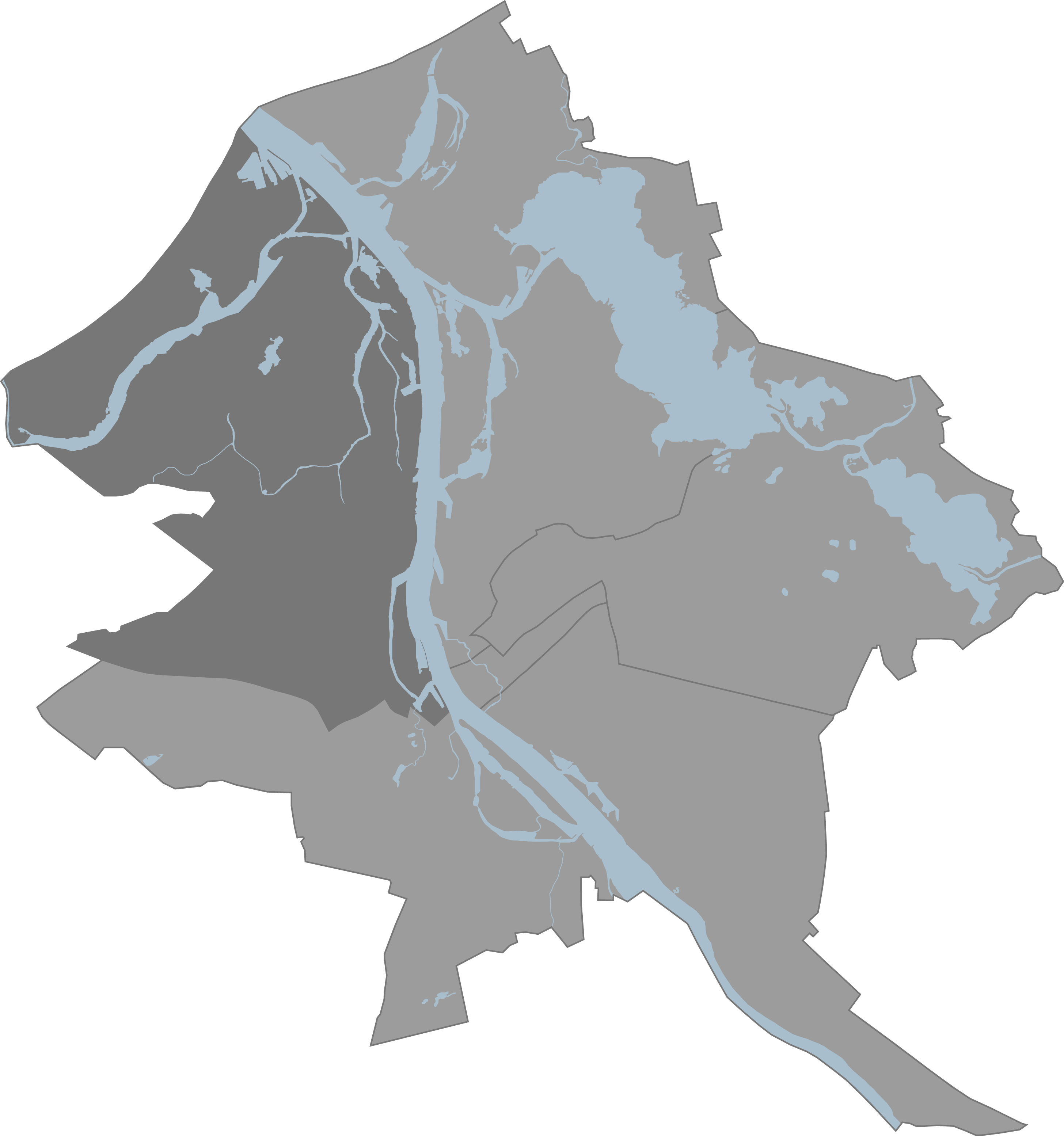
File:Riga Kurzemes rajons karte.png
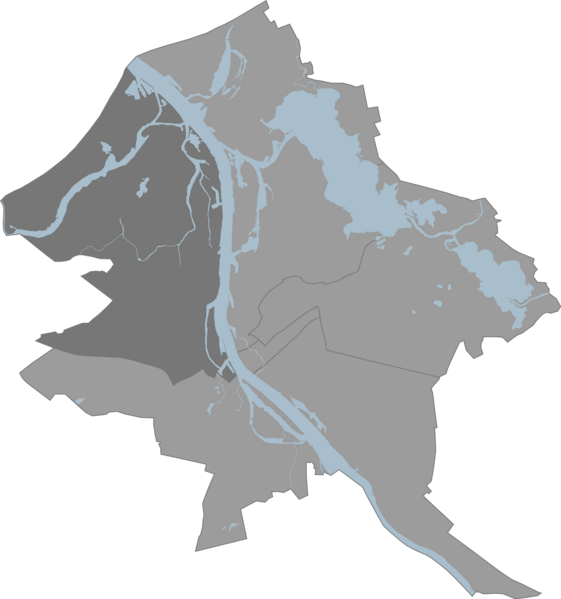
Size of this preview: 561 × 599 pixels. Other resolutions: 225 × 240 pixels | 449 × 480 pixels | 719 × 768 pixels | 959 × 1,024 pixels | 1,918 × 2,048 pixels | 2,912 × 3,110 pixels.
Original file (2,912 × 3,110 pixels, file size: 663 KB, MIME type: image/png)
Captions
Captions
Add a one-line explanation of what this file represents
Summary edit
Licensing edit
| |
This work has been released into the public domain by its author, Laurijs, at the Latvian Wikipedia project. This applies worldwide. In case this is not legally possible: |
Original upload log edit
The original description page was here. All following user names refer to lv.wikipedia.
| Date/Time | Dimensions | User | Comment |
|---|---|---|---|
| 21:04, 16 February 2010 | 2,912 × 3,110 (678,512 bytes) | Laurijs | ==Licence== {{self}} |
File history
Click on a date/time to view the file as it appeared at that time.
| Date/Time | Thumbnail | Dimensions | User | Comment | |
|---|---|---|---|---|---|
| current | 10:14, 18 January 2014 | | 2,912 × 3,110 (663 KB) | Pikne (talk | contribs) | Transferred from lv.wikipedia: see original upload log above |
You cannot overwrite this file.
File usage on Commons
The following page uses this file:
File usage on other wikis
The following other wikis use this file:
- Usage on et.wikipedia.org
- Usage on fr.wikipedia.org
- Usage on it.wikipedia.org
- Usage on lv.wikipedia.org
- Usage on ru.wikipedia.org
- Usage on www.wikidata.org