File:RioGrandedoNorte Micro PaudosFerros.svg

Size of this PNG preview of this SVG file: 800 × 499 pixels. Other resolutions: 320 × 200 pixels | 640 × 400 pixels | 1,024 × 639 pixels | 1,280 × 799 pixels | 2,560 × 1,598 pixels | 857 × 535 pixels.
Original file (SVG file, nominally 857 × 535 pixels, file size: 184 KB)
Captions
Captions
Add a one-line explanation of what this file represents
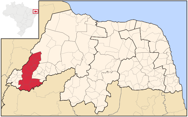
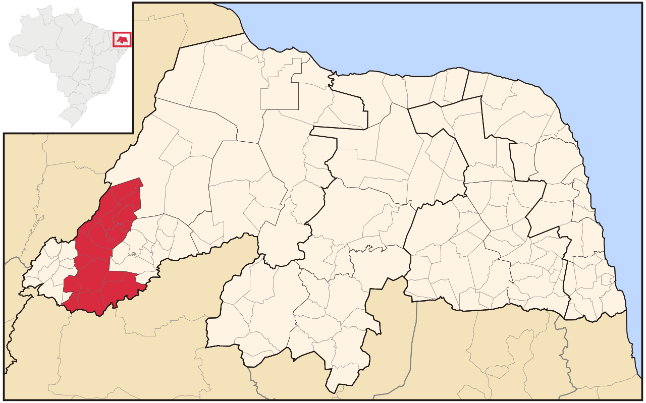
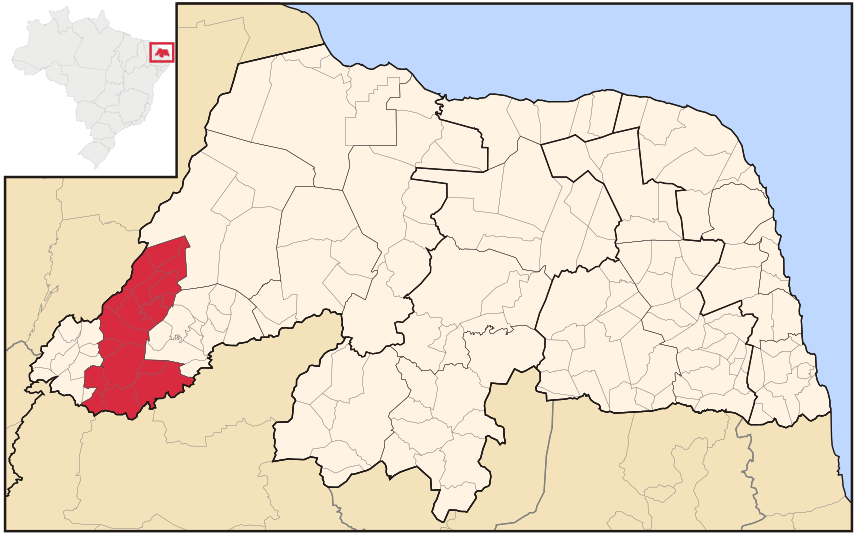
| Description | Map locator of Rio Grande do Norte's Pau dos Ferros microregion | ||||||||
| Date | |||||||||
| Source | Own work | ||||||||
| Author | Raphael Lorenzeto de Abreu | ||||||||
| Permission (Reusing this file) |
I, the copyright holder of this work, hereby publish it under the following licenses:
This file is licensed under the Creative Commons Attribution 2.5 Generic license.
You may select the license of your choice. |

File history
Click on a date/time to view the file as it appeared at that time.
| Date/Time | Thumbnail | Dimensions | User | Comment | |
|---|---|---|---|---|---|
| current | 12:19, 20 August 2011 | | 857 × 535 (184 KB) | Marquinhos (talk | contribs) | Reverted to version as of 09:41, 29 April 2006. |
| 23:42, 10 August 2011 |  | 1,594 × 990 (210 KB) | Marquinhos (talk | contribs) | Small change. | |
| 16:53, 28 June 2011 |  | 1,594 × 990 (227 KB) | Marquinhos (talk | contribs) | Fixed and padronized version with File:RioGrandedoNorte MesoMicroMunicip.svg by Raphael Lorenzeto de Abreu. | |
| 09:41, 29 April 2006 |  | 857 × 535 (184 KB) | Raphael.lorenzeto (talk | contribs) | {{Information| |Description=Map locator of Rio Grande do Norte's Pau dos Ferros microregion |Source=own work |Date=April, 27 2006 |Author=Raphael Lorenzeto de Abreu |Permission={{self2|GFDL|cc-by-2.5}} |other_versions= }} Category:Maps of Tocantins |
You cannot overwrite this file.
File usage on Commons
There are no pages that use this file.
File usage on other wikis
The following other wikis use this file:
- Usage on en.wikipedia.org
- Usage on eo.wikipedia.org
- Usage on es.wikipedia.org
- Usage on fr.wikipedia.org
- Usage on hy.wikipedia.org
- Usage on it.wikipedia.org
- Usage on nl.wikipedia.org
- Usage on pt.wikipedia.org
- Usage on ru.wikipedia.org
- Usage on vi.wikipedia.org
- Usage on www.wikidata.org
- Usage on zh-min-nan.wikipedia.org
- Usage on zh.wikipedia.org