File:RioGrandedoNorte Municipalities.svg

Size of this PNG preview of this SVG file: 800 × 497 pixels. Other resolutions: 320 × 199 pixels | 640 × 397 pixels | 1,024 × 636 pixels | 1,280 × 795 pixels | 2,560 × 1,590 pixels | 1,594 × 990 pixels.
Original file (SVG file, nominally 1,594 × 990 pixels, file size: 135 KB)
Captions
Captions
Add a one-line explanation of what this file represents
| Description |
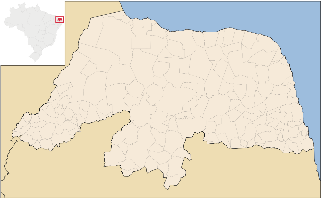
Português: Mapa do Rio Grande dividido em municípios excluindo as micro e mesorregiões. |
| Date | |
| Source | File:RioGrandedoNorte MesoMicroMunicip.svg by Raphael Lorenzeto de Abreu |
| Author | Marcos Elias de Oliveira Júnior |
| Permission (Reusing this file) |
This file is licensed under the Creative Commons Attribution 2.5 Generic license.
|
| Other versions |
 |

|
Standardization of derivative maps
Feel free to create derivations of this work, but if you want to illustrate a Wikipedia article with derivative works of this or similar maps of Brazil, please strictly follow the visual standard, nomenclature and classification already in use. All maps of Brazilian subdivisions are being adaptated or created in this way. We do not want to inhibit creativity but the pattern adopted here was presented and accepted by the Lusophone community and should be followed whenever possible. |
File history
Click on a date/time to view the file as it appeared at that time.
| Date/Time | Thumbnail | Dimensions | User | Comment | |
|---|---|---|---|---|---|
| current | 00:34, 3 August 2011 | | 1,594 × 990 (135 KB) | Marquinhos (talk | contribs) | Small change. |
| 17:28, 28 June 2011 |  | 1,594 × 990 (129 KB) | Marquinhos (talk | contribs) | Small revision | |
| 16:16, 17 June 2011 |  | 1,594 × 990 (129 KB) | Marquinhos (talk | contribs) | Cleaned SVG | |
| 16:20, 16 June 2011 |  | 1,594 × 990 (131 KB) | Marquinhos (talk | contribs) | Removed municipalities in red and fixed version. | |
| 16:15, 16 June 2011 |  | 1,594 × 990 (192 KB) | Marquinhos (talk | contribs) | {{Information |Description ={{pt|1=Mapa do Rio Grande dividido em municípios excluindo as micro e mesorregiões.}} |Source =File:RioGrandedoNorte MesoMicroMunicip.svg by Raphael Lorenzeto de Abreu |Author |
You cannot overwrite this file.
File usage on Commons
There are no pages that use this file.
File usage on other wikis
The following other wikis use this file:
- Usage on pt.wikipedia.org