File:Rita1975NOAA.gif

Size of this preview: 588 × 599 pixels. Other resolutions: 235 × 240 pixels | 471 × 480 pixels | 754 × 768 pixels | 1,005 × 1,024 pixels | 1,720 × 1,753 pixels.
Original file (1,720 × 1,753 pixels, file size: 2.26 MB, MIME type: image/gif)
Captions
Captions
Add a one-line explanation of what this file represents
Summary edit
| Description |
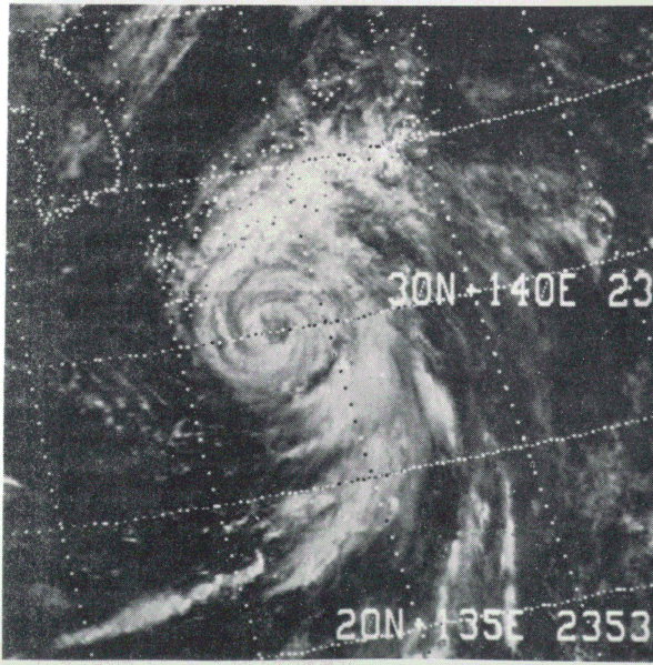
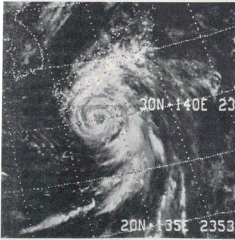
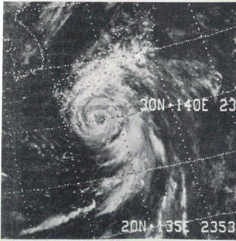
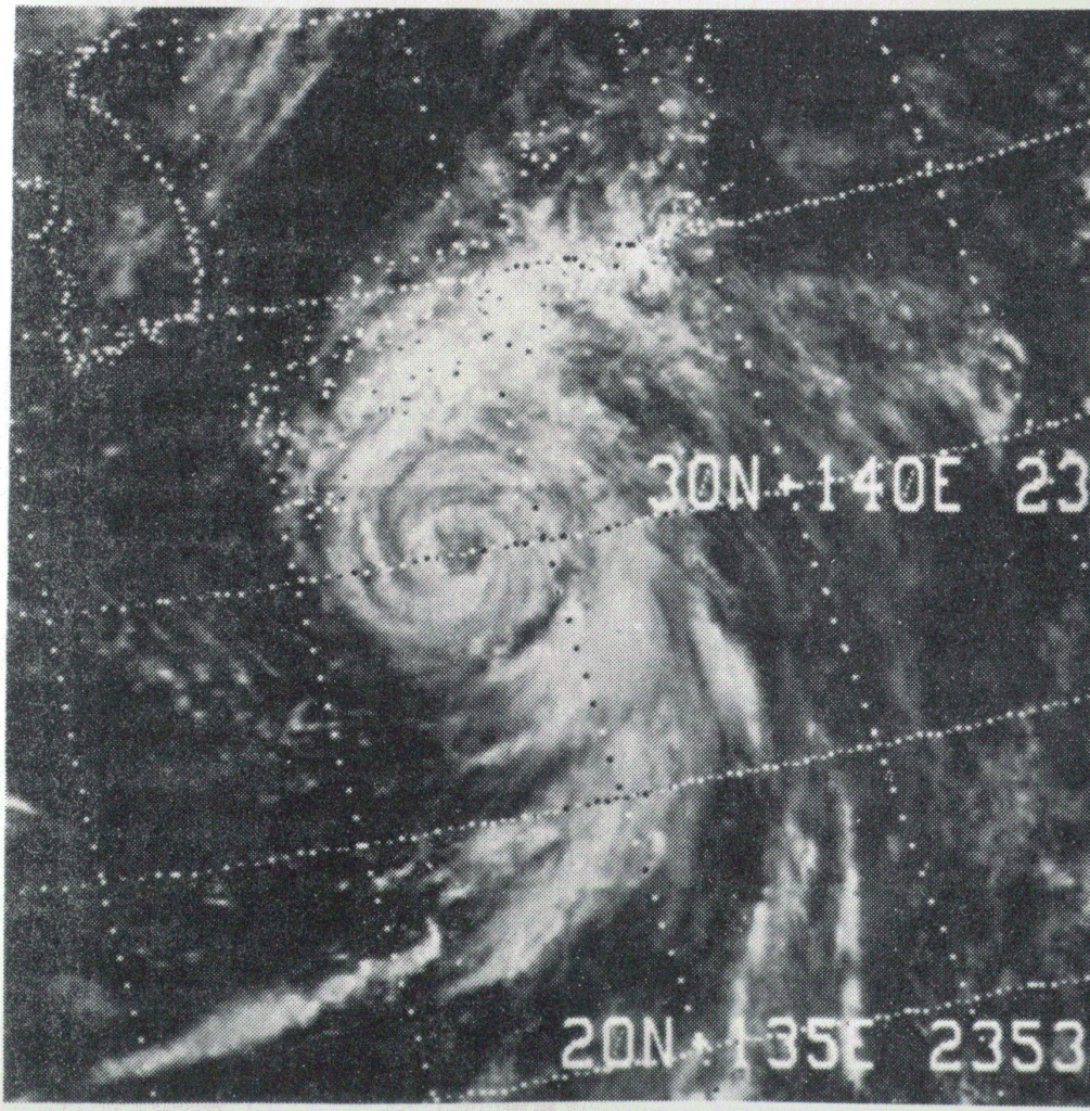
English: This NOAA satellite weather image of Typhoon Rita was taken on August 21, 1975 |
| Date | |
| Source | Mariners Weather Log, November 1975, pg. 387 |
| Author | NOAA |
| Camera location | | View this and other nearby images on: OpenStreetMap |
|---|
Licensing edit
This image is in the public domain because it contains materials that originally came from the U.S. National Oceanic and Atmospheric Administration, taken or made as part of an employee's official duties.
|
File history
Click on a date/time to view the file as it appeared at that time.
| Date/Time | Thumbnail | Dimensions | User | Comment | |
|---|---|---|---|---|---|
| current | 01:01, 29 April 2013 | | 1,720 × 1,753 (2.26 MB) | Thegreatdr (talk | contribs) | User created page with UploadWizard |
You cannot overwrite this file.
File usage on Commons
There are no pages that use this file.
File usage on other wikis
The following other wikis use this file:
- Usage on en.wikipedia.org
- Usage on ja.wikipedia.org
- Usage on ko.wikipedia.org
- Usage on pt.wikipedia.org
- Usage on th.wikipedia.org
- Usage on vi.wikipedia.org
- Usage on zh.wikipedia.org