File:Rittersgrün 1791.jpg
Size of this preview: 229 × 599 pixels. Other resolutions: 91 × 240 pixels | 183 × 480 pixels | 293 × 768 pixels | 1,214 × 3,174 pixels.
Original file (1,214 × 3,174 pixels, file size: 890 KB, MIME type: image/jpeg)
Captions
Captions
Add a one-line explanation of what this file represents
Summary edit
| Description |
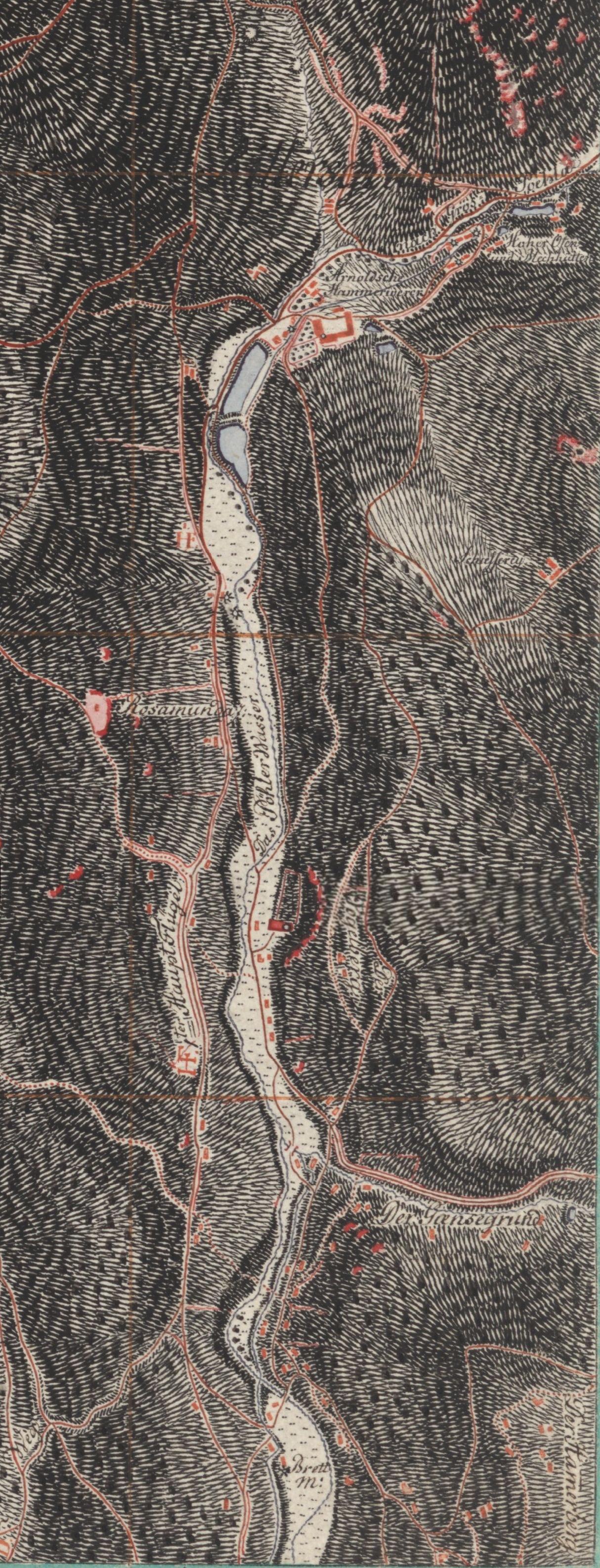
English: Map of lower part of Rittersgrün, Erzgebirge.
Deutsch: Karte des unteren Teils von Rittersgrün, Erzgebirge.
- Arnoldshammer (oberer Bildrand) - Kirche mit Friedhof am Fuß des Vogelbergs (Bildmitte) - Streusiedlungen am Gänsegrund (heute Grenzgrund) und Hammerberg (unterer Bildrand) |
| Date | |
| Source | http://www.deutschefotothek.de/?MEDIA_KARTEN# |
| Author | NN |
Licensing edit
|
This work is in the public domain in its country of origin and other countries and areas where the copyright term is the author's life plus 100 years or fewer. | |
| This file has been identified as being free of known restrictions under copyright law, including all related and neighboring rights. | |
File history
Click on a date/time to view the file as it appeared at that time.
| Date/Time | Thumbnail | Dimensions | User | Comment | |
|---|---|---|---|---|---|
| current | 09:42, 11 May 2009 | 1,214 × 3,174 (890 KB) | Anonymes Uploadkonto (talk | contribs) | {{Information |Description={{en|1=Map of lower part of Rittersgrün, Erzgebirge.}} {{de|1=Karte des unteren Teils von Rittersgrün, Erzgebirge. - Arnoldshammer (oberer Bildrand) - Kirche mit Friedhof am Fuß des Vogelbergs (Bildmitte) - Streusiedlungen am |
You cannot overwrite this file.
File usage on Commons
There are no pages that use this file.
File usage on other wikis
The following other wikis use this file:
- Usage on de.wikipedia.org