File:River Mease near Croxall Trent 130233 0f286aa1.jpg
No higher resolution available.
River_Mease_near_Croxall_Trent_130233_0f286aa1.jpg (640 × 480 pixels, file size: 106 KB, MIME type: image/jpeg)
Captions
Captions
Add a one-line explanation of what this file represents
Summary edit
| Description |
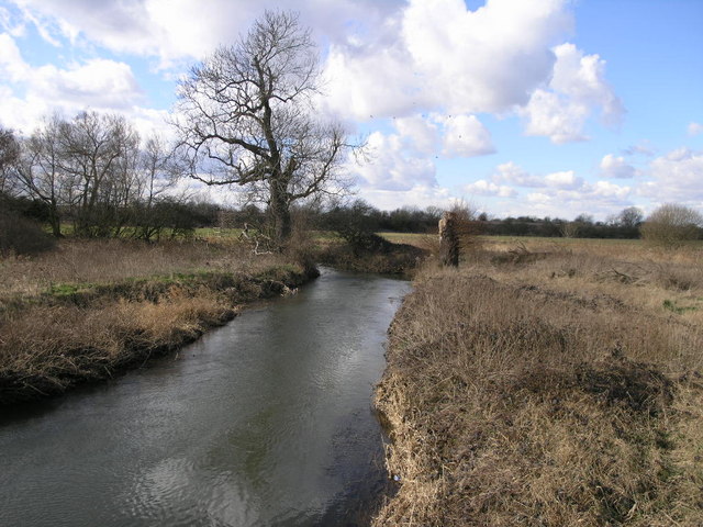
English: River Meadows The River Mease leaves this grid square just beyond the large tree. Shortly after this point it joins the River Trent. |
| Date | |
| Source | From geograph.org.uk |
| Author | Michael Patterson |
| Camera location | | View this and other nearby images on: OpenStreetMap |
|---|
Licensing edit

|
This image was taken from the Geograph project collection. See this photograph's page on the Geograph website for the photographer's contact details. The copyright on this image is owned by Michael Patterson and is licensed for reuse under the Creative Commons Attribution-ShareAlike 2.0 license.
|
This file is licensed under the Creative Commons Attribution-Share Alike 2.0 Generic license.
Attribution: Michael Patterson
- You are free:
- to share – to copy, distribute and transmit the work
- to remix – to adapt the work
- Under the following conditions:
- attribution – You must give appropriate credit, provide a link to the license, and indicate if changes were made. You may do so in any reasonable manner, but not in any way that suggests the licensor endorses you or your use.
- share alike – If you remix, transform, or build upon the material, you must distribute your contributions under the same or compatible license as the original.
File history
Click on a date/time to view the file as it appeared at that time.
| Date/Time | Thumbnail | Dimensions | User | Comment | |
|---|---|---|---|---|---|
| current | 22:02, 10 April 2008 | | 640 × 480 (106 KB) | Victuallers (talk | contribs) | {{Information |Description=River_Mease. Near Croxall. SW of Coton in the Elms OSGB36: geotagged! SK 192 139 [100m precision] WGS84: 52:43.3447N 1:43.0302W |Source=http://www.geograph.org.uk/photo/130233 |Date=2006 |Author=Michael Patterson |Permission= |o |
You cannot overwrite this file.
File usage on Commons
There are no pages that use this file.