File:Road P102.jpg

Size of this preview: 796 × 599 pixels. Other resolutions: 319 × 240 pixels | 638 × 480 pixels | 1,020 × 768 pixels | 1,280 × 964 pixels | 2,592 × 1,952 pixels.
Original file (2,592 × 1,952 pixels, file size: 1.47 MB, MIME type: image/jpeg)
Captions
Captions
Add a one-line explanation of what this file represents
Summary edit
| Description |
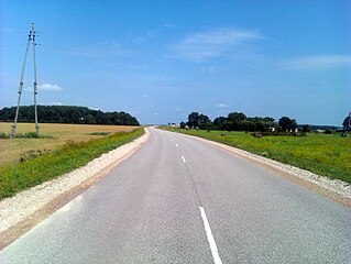
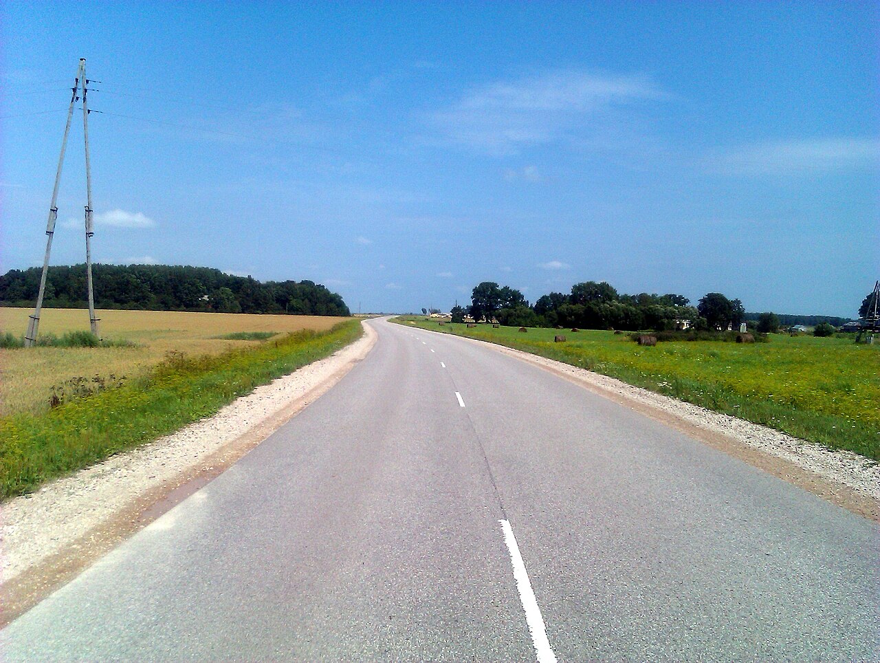
Latviešu: Autoceļš P102 pie Grieniem |
| Date | |
| Source | Panoramio |
| Author | bakh.72 |
| Camera location | | View this and other nearby images on: OpenStreetMap |
|---|
| This image, which was originally posted to Panoramio, was reviewed on 15 November 2012 by the administrator or trusted user Morning Sunshine, who confirmed that it was available on Panoramio under the above license on that date. |
Licensing edit
This file is licensed under the Creative Commons Attribution 3.0 Unported license.
- You are free:
- to share – to copy, distribute and transmit the work
- to remix – to adapt the work
- Under the following conditions:
- attribution – You must give appropriate credit, provide a link to the license, and indicate if changes were made. You may do so in any reasonable manner, but not in any way that suggests the licensor endorses you or your use.
File history
Click on a date/time to view the file as it appeared at that time.
| Date/Time | Thumbnail | Dimensions | User | Comment | |
|---|---|---|---|---|---|
| current | 11:58, 15 November 2012 | | 2,592 × 1,952 (1.47 MB) | Kikos (talk | contribs) | User created page with UploadWizard |
You cannot overwrite this file.
File usage on Commons
The following page uses this file:
File usage on other wikis
The following other wikis use this file:
- Usage on lv.wikipedia.org
- Usage on nl.wikipedia.org
- Usage on www.wikidata.org