File:Rochester-Bridgewater Bridge.jpg
Size of this preview: 800 × 600 pixels. Other resolutions: 320 × 240 pixels | 640 × 480 pixels | 1,024 × 768 pixels | 1,280 × 960 pixels | 2,560 × 1,920 pixels | 2,816 × 2,112 pixels.
Original file (2,816 × 2,112 pixels, file size: 2.28 MB, MIME type: image/jpeg)
Captions
Captions
Add a one-line explanation of what this file represents
| Camera location | | View this and other nearby images on: OpenStreetMap |
|---|
| Description |
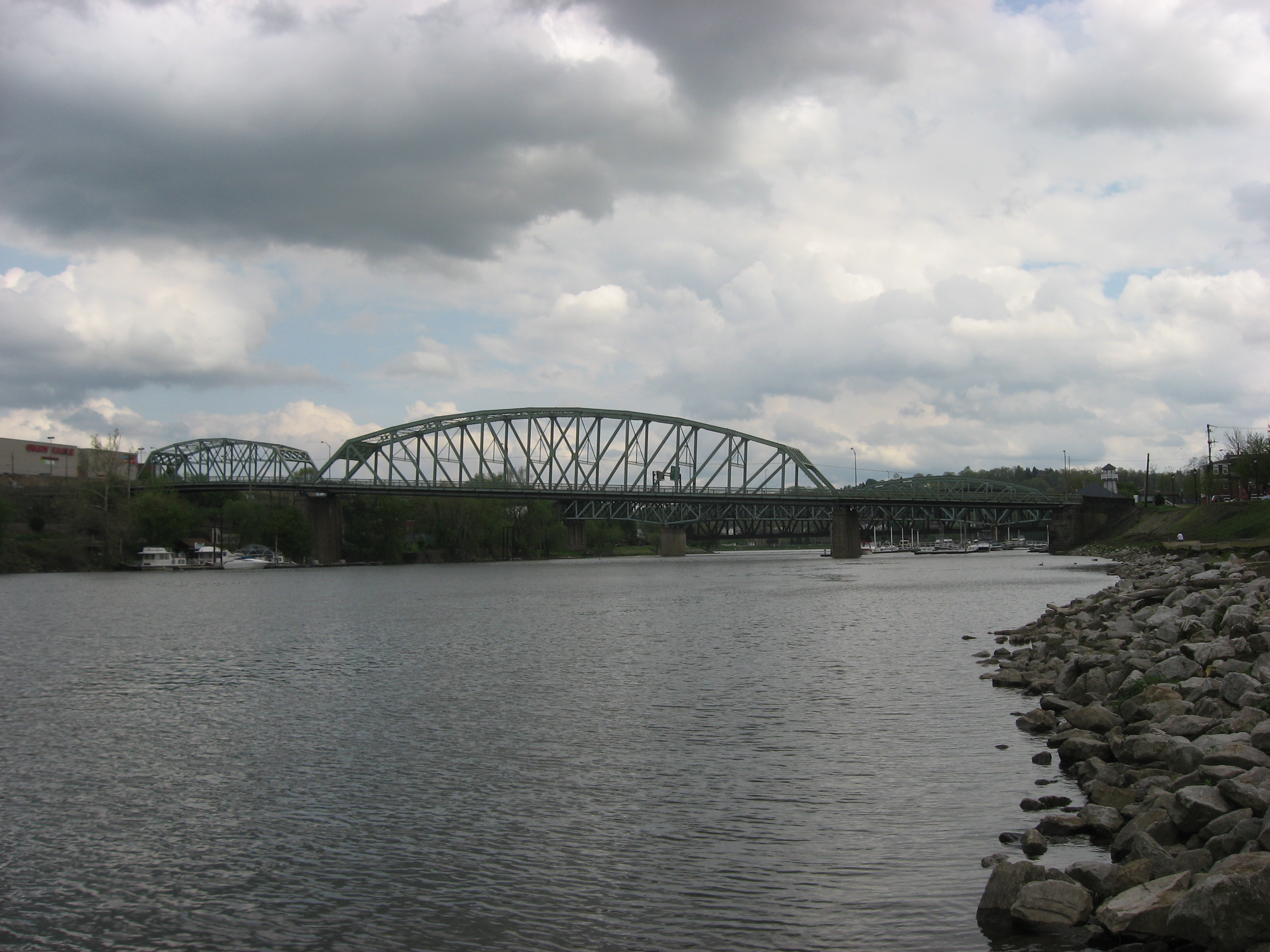
English: Northern (upstream) side of the Rochester-Bridgewater Bridge, which spans the Beaver River at its confluence with the Ohio River in Beaver County, Pennsylvania, United States. Connecting Bridge Street in Bridgewater and Madison Street in Rochester, the Parker/Pratt through truss bridge was built in 1933. It is a contributing property to the Bridgewater Historic District, which is listed on the National Register of Historic Places. |
||
| Date | Taken on 1 May 2009 | ||
| Source | Own work | ||
| Author | Nyttend | ||
| Permission (Reusing this file) |
|
File history
Click on a date/time to view the file as it appeared at that time.
| Date/Time | Thumbnail | Dimensions | User | Comment | |
|---|---|---|---|---|---|
| current | 00:09, 19 July 2009 | | 2,816 × 2,112 (2.28 MB) | Nyttend (talk | contribs) | {{Location|40|42|4.788|N|80|17|28.32|W}} {{Information |Description={{en|Northern (upstream) side of the {{w|Rochester-Bridgewater Bridge}}, which spans the {{w|Beaver River (Pennsylvania)|Beaver River}} at its confluence with the {{w|Ohio River}} in {{w| |
You cannot overwrite this file.
File usage on Commons
There are no pages that use this file.