File:Rohrauer-Wegweiser.jpg
Size of this preview: 800 × 450 pixels. Other resolutions: 320 × 180 pixels | 640 × 360 pixels | 1,024 × 576 pixels | 1,280 × 720 pixels | 2,588 × 1,456 pixels.
Original file (2,588 × 1,456 pixels, file size: 1.53 MB, MIME type: image/jpeg)
Captions
Captions
Add a one-line explanation of what this file represents
Summary edit
![]() Austria
Austria ![]() Land Tirol - Stubaier Alpen ~ 2.460 m ü. A.
Land Tirol - Stubaier Alpen ~ 2.460 m ü. A.
| Description |
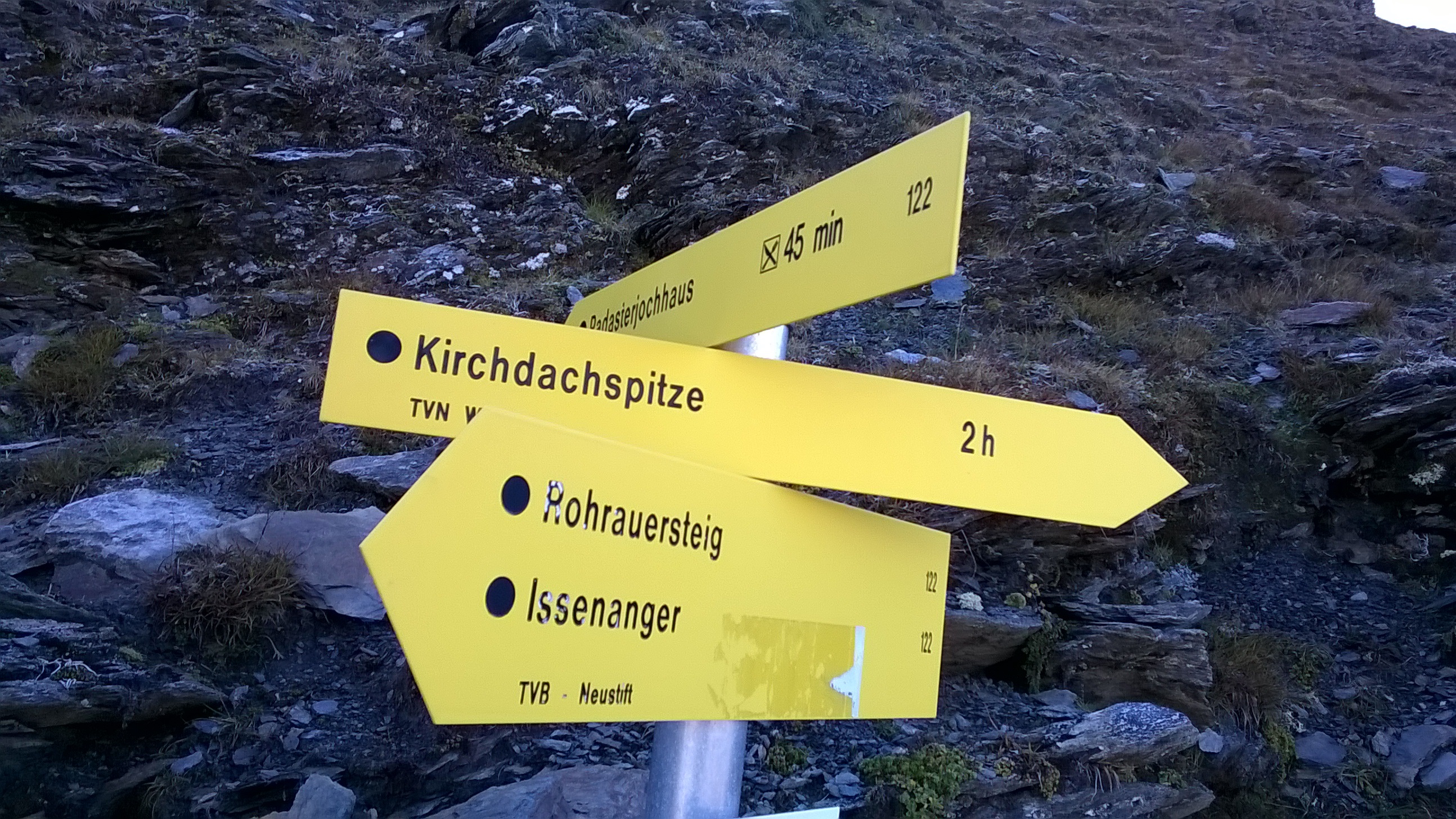
Deutsch: Wegweiser am Rohrauersteig im oberen Pinnistal nahe der Hammerspitze (gemäß Schild 2500 m). |
| Date | Taken on 25 September 2016, 11:14:29 |
| Source | Own work |
| Author | FkMohr, Fotografin Supakon Mohr |
| Camera location | | View this and other nearby images on: OpenStreetMap |
|---|
T {XH160925-1114}
Licensing edit
Supakon Mohr, the copyright holder of this work, hereby publishes it under the following license:
This file is licensed under the Creative Commons Attribution-Share Alike 3.0 Germany license.
Attribution: Supakon Mohr
- You are free:
- to share – to copy, distribute and transmit the work
- to remix – to adapt the work
- Under the following conditions:
- attribution – You must give appropriate credit, provide a link to the license, and indicate if changes were made. You may do so in any reasonable manner, but not in any way that suggests the licensor endorses you or your use.
- share alike – If you remix, transform, or build upon the material, you must distribute your contributions under the same or compatible license as the original.

File history
Click on a date/time to view the file as it appeared at that time.
| Date/Time | Thumbnail | Dimensions | User | Comment | |
|---|---|---|---|---|---|
| current | 09:35, 30 September 2016 | | 2,588 × 1,456 (1.53 MB) | FkMohr (talk | contribs) | Pixel |
| 19:59, 29 September 2016 |  | 2,592 × 1,456 (1.63 MB) | FkMohr (talk | contribs) | User created page with UploadWizard |
You cannot overwrite this file.
File usage on Commons
The following 2 pages use this file: