File:Romania Dambovita Location map 4.jpg

Size of this preview: 389 × 600 pixels. Other resolutions: 155 × 240 pixels | 311 × 480 pixels | 891 × 1,374 pixels.
Original file (891 × 1,374 pixels, file size: 51 KB, MIME type: image/jpeg)
Captions
Captions
Add a one-line explanation of what this file represents

|
This map image could be re-created using vector graphics as an SVG file. This has several advantages; see Commons:Media for cleanup for more information. If an SVG form of this image is available, please upload it and afterwards replace this template with
{{vector version available|new image name}}.
It is recommended to name the SVG file “Romania Dambovita Location map 4.svg”—then the template Vector version available (or Vva) does not need the new image name parameter. |

Summary
edit| Description |
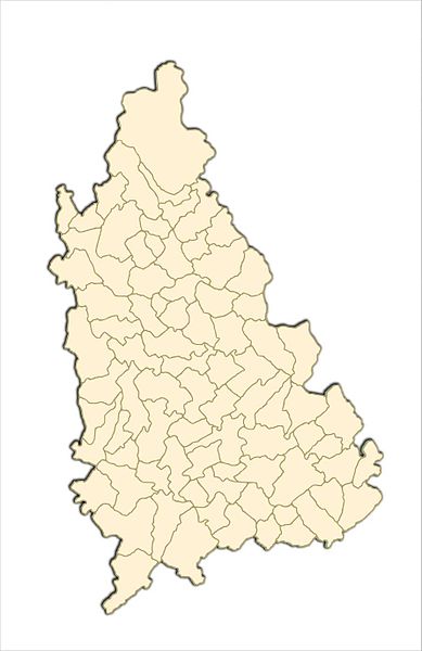
Română: Harta de localizare calibrata pentru suprapunere cu Fişier:Romania Dambovita Location map 2.jpg |
| Date | |
| Source | ro:Fişier:Romania Dambovita Location map 3.jpg |
| Author | Asybaris01 |
| Other versions |
|


Licensing
edit
| I, the copyright holder of this work, release this work into the public domain. This applies worldwide. In some countries this may not be legally possible; if so: I grant anyone the right to use this work for any purpose, without any conditions, unless such conditions are required by law. |
File history
Click on a date/time to view the file as it appeared at that time.
| Date/Time | Thumbnail | Dimensions | User | Comment | |
|---|---|---|---|---|---|
| current | 17:16, 21 December 2011 | | 891 × 1,374 (51 KB) | Asybaris01 (talk | contribs) | {{Information |Description ={{ro|1=Romania Dambovita Location map 4.jpg}} |Source =Romania Dambovita Location map 3.jpg |Author =Asybaris01 |Date =dec 2011 |Permission = |other_versions = }} [[Category |
You cannot overwrite this file.
File usage on Commons
The following 2 pages use this file: