File:Rotbachlspitze.jpg

Size of this preview: 800 × 450 pixels. Other resolutions: 320 × 180 pixels | 640 × 360 pixels | 1,024 × 576 pixels | 1,280 × 720 pixels | 2,560 × 1,440 pixels | 6,000 × 3,376 pixels.
Original file (6,000 × 3,376 pixels, file size: 12.2 MB, MIME type: image/jpeg)
Captions
Captions
Add a one-line explanation of what this file represents
Summary edit
![]() Austria
Austria ![]() Land Tirol /
Land Tirol / ![]() Italy
Italy ![]() South Tyrol - Zillertaler Alpen 2.589 m ü. A.
South Tyrol - Zillertaler Alpen 2.589 m ü. A.
| Description |
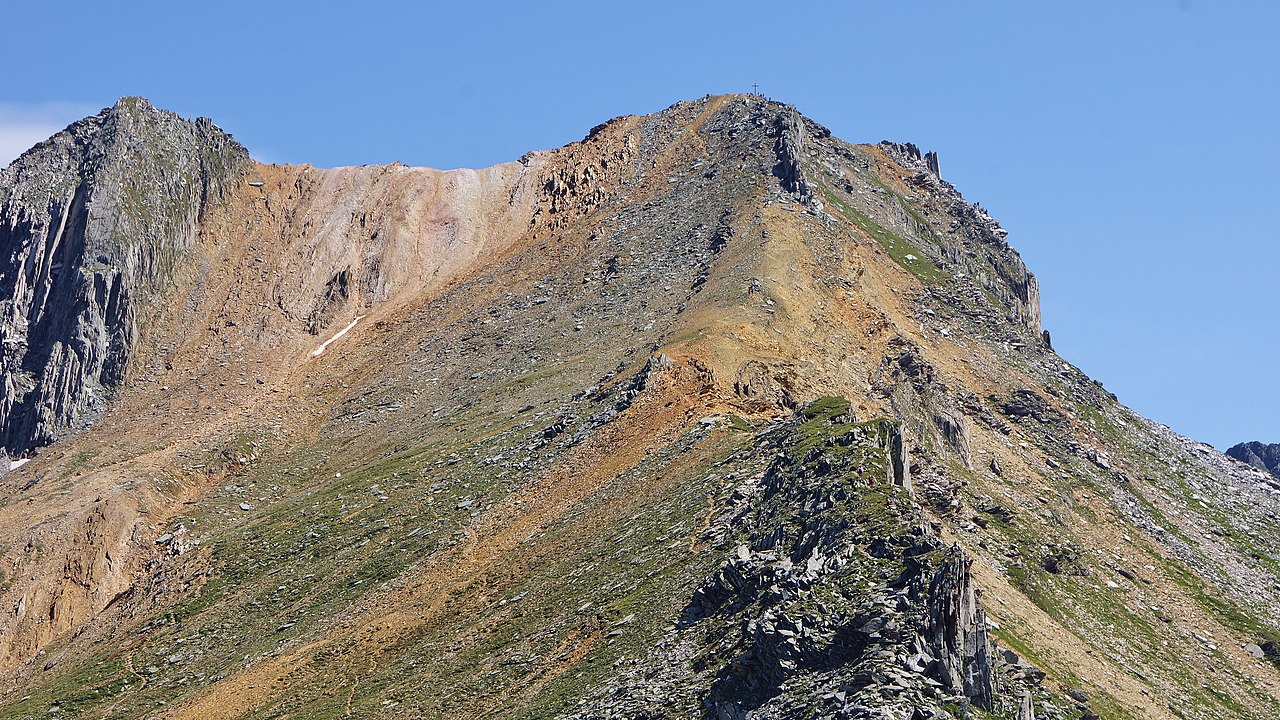
Deutsch: Anstiegsweg entlang des Grenzgrats zur Rotbachlspitze mit Gipfelkreuz 2.897 m ü. A. |
| Date | Taken on 4 August 2019, 12:06:37 |
| Source | Own work |
| Author | FkMohr |
| Camera location | | View this and other nearby images on: OpenStreetMap |
|---|
T {XF190804-1206}
Licensing edit
Friedrich-Karl Mohr, the copyright holder of this work, hereby publishes it under the following license:
This file is licensed under the Creative Commons Attribution-Share Alike 3.0 Germany license.
Attribution: Friedrich-Karl Mohr
- You are free:
- to share – to copy, distribute and transmit the work
- to remix – to adapt the work
- Under the following conditions:
- attribution – You must give appropriate credit, provide a link to the license, and indicate if changes were made. You may do so in any reasonable manner, but not in any way that suggests the licensor endorses you or your use.
- share alike – If you remix, transform, or build upon the material, you must distribute your contributions under the same or compatible license as the original.

File history
Click on a date/time to view the file as it appeared at that time.
| Date/Time | Thumbnail | Dimensions | User | Comment | |
|---|---|---|---|---|---|
| current | 19:10, 10 November 2019 | | 6,000 × 3,376 (12.2 MB) | FkMohr (talk | contribs) | User created page with UploadWizard |
You cannot overwrite this file.
File usage on Commons
The following 3 pages use this file:
File usage on other wikis
The following other wikis use this file:
- Usage on de.wikipedia.org
- Usage on www.wikidata.org