File:Rotterdamse wijken-hoekvanholland.PNG

Size of this preview: 800 × 541 pixels. Other resolutions: 320 × 216 pixels | 640 × 433 pixels | 850 × 575 pixels.
Original file (850 × 575 pixels, file size: 31 KB, MIME type: image/png)
Captions
Captions
Add a one-line explanation of what this file represents
Summary
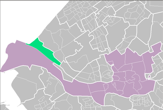
edit| Description | Rotterdam districts/neighboorhoods | |||
| Source | Centraal Bureau voor de Statistiek | |||
| Author | Centraal Bureau voor de Statistiek | |||
| Permission (Reusing this file) |
|

Licensing
edit
| I, the copyright holder of this work, release this work into the public domain. This applies worldwide. In some countries this may not be legally possible; if so: I grant anyone the right to use this work for any purpose, without any conditions, unless such conditions are required by law. |
File history
Click on a date/time to view the file as it appeared at that time.
| Date/Time | Thumbnail | Dimensions | User | Comment | |
|---|---|---|---|---|---|
| current | 21:25, 27 November 2006 | | 850 × 575 (31 KB) | Hanhil (talk | contribs) | {{Statistics Netherlands map}} Category:Maps of Rotterdam |
You cannot overwrite this file.
File usage on Commons
There are no pages that use this file.
File usage on other wikis
The following other wikis use this file:
- Usage on af.wikipedia.org
- Usage on da.wikipedia.org
- Usage on et.wikipedia.org
- Usage on fr.wikipedia.org
- Usage on sv.wikipedia.org
- Usage on www.wikidata.org
- Usage on zea.wikipedia.org