File:Round Bale Silage. - geograph.org.uk - 32173.jpg
No higher resolution available.
Round_Bale_Silage._-_geograph.org.uk_-_32173.jpg (640 × 480 pixels, file size: 51 KB, MIME type: image/jpeg)
Captions
Captions
Add a one-line explanation of what this file represents
Summary
edit| Description |
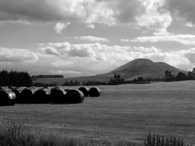
English: Round Bale Silage. Round bale silage stored in front of Mendick Hill. The square is low enough for some improved land as well as part of the West Linton Golf Club. |
||
| Date | |||
| Source | From geograph.org.uk | ||
| Author | Richard Webb | ||
| Permission (Reusing this file) |
This file is licensed under the Creative Commons Attribution-Share Alike 2.0 Generic license. Attribution: Richard Webb
|
||
| Attribution (required by the license) | Richard Webb / Round Bale Silage. / | ||

| Object location | | View this and other nearby images on: OpenStreetMap |
|---|
_&language=en)
- Remove redundant categories and try to put this image in the most specific category/categories
- Remove this template
- The location categories are based on information from this geonames tool and this OpenStreetMap tool combined with a database. You can also have a look at this tool from mysociety.
- The topic category from Geograph was Farmland (find similar images at Geograph)
File history
Click on a date/time to view the file as it appeared at that time.
| Date/Time | Thumbnail | Dimensions | User | Comment | |
|---|---|---|---|---|---|
| current | 16:47, 30 January 2010 | | 640 × 480 (51 KB) | GeographBot (talk | contribs) | == {{int:filedesc}} == {{Information |description={{en|1=Round Bale Silage. Round bale silage stored in front of Mendick Hill. The square is low enough for some improved land as well as part of the West Linton Golf Club.}} |date=2005-07-31 |source=From [h |
You cannot overwrite this file.
File usage on Commons
There are no pages that use this file.