File:Route of former Vouziers–Buzancy railway superimposed onto an OpenStreetMap map.jpg

Size of this preview: 800 × 403 pixels. Other resolutions: 320 × 161 pixels | 640 × 322 pixels | 1,024 × 515 pixels | 1,916 × 964 pixels.
Original file (1,916 × 964 pixels, file size: 468 KB, MIME type: image/jpeg)
Captions
Captions
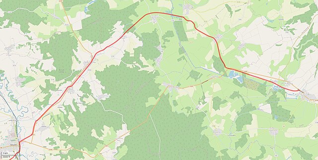
Route of former Vouziers–Buzancy railway superimposed onto an OpenStreetMap map
Summary
edit
| Description |
English: Route of former Vouziers–Buzancy railway superimposed onto an OpenStreetMap map |
| Date | |
| Source | |
| Author |
|
Licensing
edit
This file is licensed under the Creative Commons Attribution-Share Alike 2.5 Generic license.
- You are free:
- to share – to copy, distribute and transmit the work
- to remix – to adapt the work
- Under the following conditions:
- attribution – You must give appropriate credit, provide a link to the license, and indicate if changes were made. You may do so in any reasonable manner, but not in any way that suggests the licensor endorses you or your use.
- share alike – If you remix, transform, or build upon the material, you must distribute your contributions under the same or compatible license as the original.
File history
Click on a date/time to view the file as it appeared at that time.
| Date/Time | Thumbnail | Dimensions | User | Comment | |
|---|---|---|---|---|---|
| current | 09:02, 29 July 2022 | | 1,916 × 964 (468 KB) | NearEMPTiness (talk | contribs) | Uploaded a work by * OpenStreetMap Contributors *Jean Randé - Francois Librini * NearEMPTiness from * https://www.openstreetmap.org/?mlat=49.398056&mlooff=4.701111&zoom=11#map=13/49.4316/4.8251 * http://archeoferroviaire.free.fr/v31/spip.php?article1029 with UploadWizard |
You cannot overwrite this file.
File usage on Commons
The following 2 pages use this file:
File usage on other wikis
The following other wikis use this file:
- Usage on de.wikipedia.org
- Usage on en.wikipedia.org