File:Ruhland, Bahnhofstr. bei Einmündung Bahnhof (Straße), alter Ablaufberg der Bahn 2018, Ostnordostansicht, 01.jpg
Size of this preview: 800 × 600 pixels. Other resolutions: 320 × 240 pixels | 640 × 480 pixels | 1,024 × 768 pixels | 1,280 × 960 pixels | 2,272 × 1,704 pixels.
Original file (2,272 × 1,704 pixels, file size: 286 KB, MIME type: image/jpeg)
Captions
Captions
Add a one-line explanation of what this file represents
Summary
edit,_alter_Ablaufberg_der_Bahn_2018,_Ostnordostansicht,_01.jpg&action=edit§ion=1)
| Description |
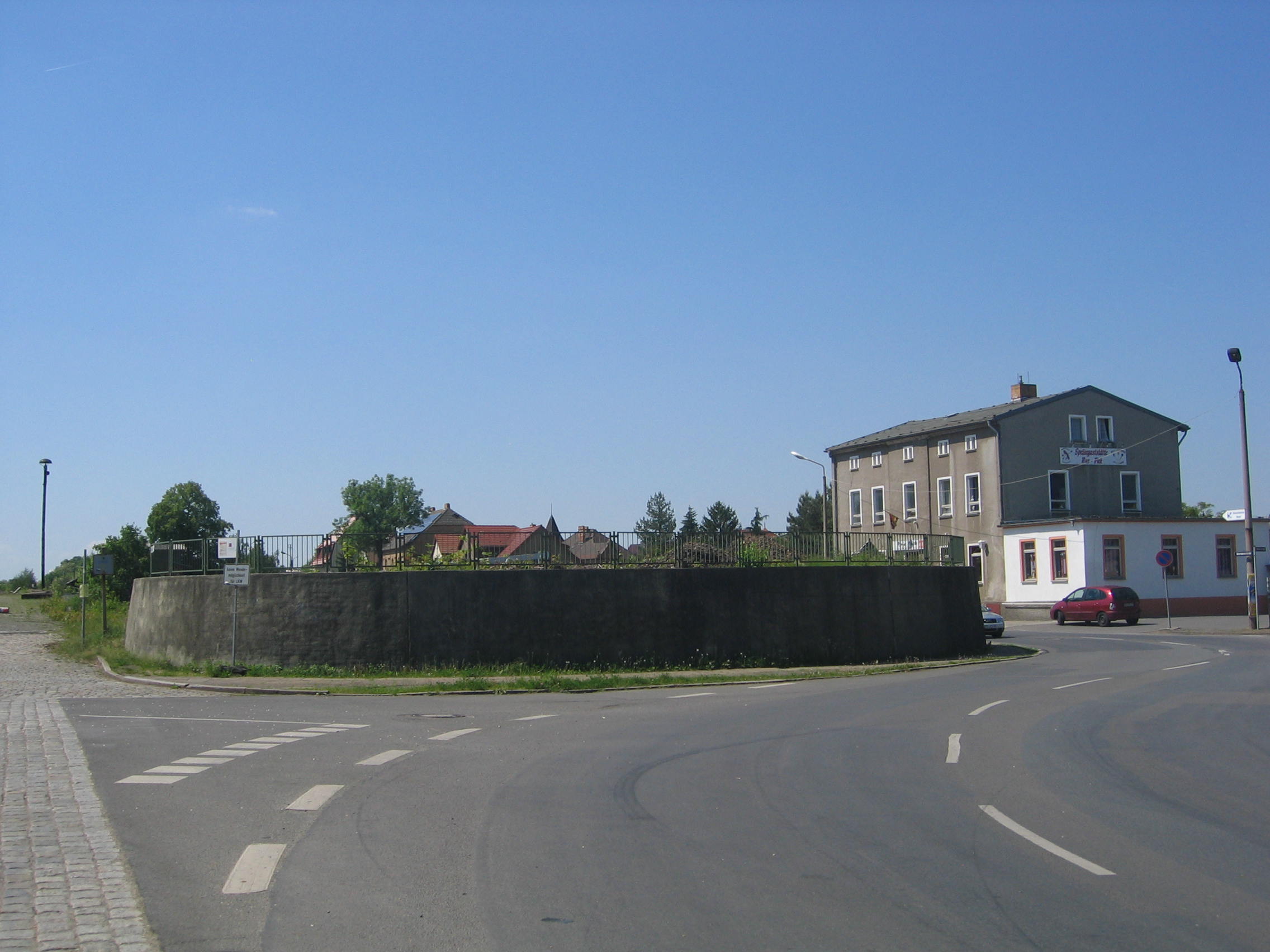
Deutsch: Ruhland, Bahnhofstraße zwischen Hausnr. 17 und Einmündung Bahnhof (Straße), alter Ablaufberg der Bahn 2018, Ostnordostansicht; vor dem "Bus-Pick" (früher Hotel "Adler") knickt die Bahnhofstraße nach rechts ab, davor (rechts des Ablaufbergs) beginnt die Güterbahnhofstraße; links mündet Bahnhof (Straße), geradeaus eine parallele Einfahrt auf aufgelassenes Betriebsgelände der Bahn (zur Zeit Parkplätze) |
| Date | |
| Source | Own work |
| Author | Wilhelm Zimmerling PAR |
| Camera location | | View this and other nearby images on: OpenStreetMap |
|---|
,_alter_Ablaufberg_der_Bahn_2018,_Ostnordostansicht,_01.jpg¶ms=051.457304_N_0013.871776_E_globe:Earth_type:camera_heading:247.00&language=en)
Licensing
edit,_alter_Ablaufberg_der_Bahn_2018,_Ostnordostansicht,_01.jpg&action=edit§ion=2)
I, the copyright holder of this work, hereby publish it under the following license:
This file is licensed under the Creative Commons Attribution-Share Alike 4.0 International license.
- You are free:
- to share – to copy, distribute and transmit the work
- to remix – to adapt the work
- Under the following conditions:
- attribution – You must give appropriate credit, provide a link to the license, and indicate if changes were made. You may do so in any reasonable manner, but not in any way that suggests the licensor endorses you or your use.
- share alike – If you remix, transform, or build upon the material, you must distribute your contributions under the same or compatible license as the original.
File history
Click on a date/time to view the file as it appeared at that time.
| Date/Time | Thumbnail | Dimensions | User | Comment | |
|---|---|---|---|---|---|
| current | 03:11, 12 June 2018 | | 2,272 × 1,704 (286 KB) | Wilhelm Zimmerling PAR (talk | contribs) | User created page with UploadWizard |
You cannot overwrite this file.
File usage on Commons
The following 3 pages use this file:
,_alter_Ablaufberg_der_Bahn_2018,_Ostnordostansicht,_01.jpg&oldid=622277405)