File:Ruta 23-CH km 192 Socaire.jpg
Size of this preview: 800 × 450 pixels. Other resolutions: 320 × 180 pixels | 640 × 360 pixels | 1,024 × 576 pixels | 1,280 × 720 pixels | 3,568 × 2,006 pixels.
Original file (3,568 × 2,006 pixels, file size: 2.38 MB, MIME type: image/jpeg)
Captions
Captions
Add a one-line explanation of what this file represents
Summary
edit
| Description |
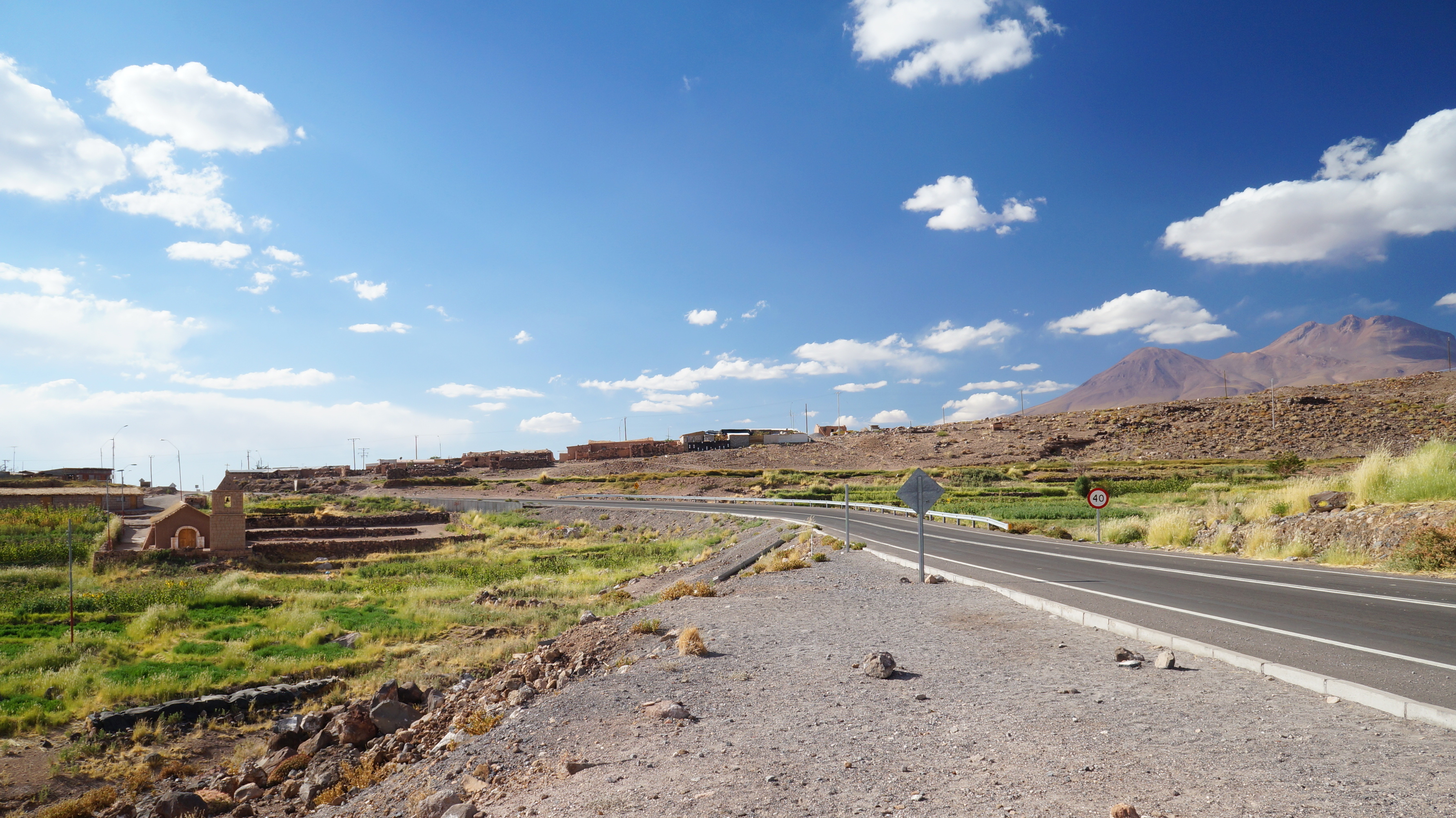
Deutsch: Km 192,1 Ruta 23-CH, 3275 m ü.M.: Das Dorf Socaire, südlicher Ortsausgang.
Español: Km 192,1 Ruta 23-CH, 3275 m s.n.m.: Pueblo de Socaire, salida sur.
English: Km 192,1 Ruta 23-CH, 3275 m a.s.l.: Village of Socaire, southern exit. |
||
| Date | 19 March 2014, 17:16:44 (according to Exif data) | ||
| Source | Pueblo de Socaire | ||
| Author | Leandro Neumann Ciuffo from Rio de Janeiro, Brazil | ||
| Permission (Reusing this file) |
This file is licensed under the Creative Commons Attribution 2.0 Generic license.
|
| Object location | | View this and other nearby images on: OpenStreetMap |
|---|
| Camera location | | View this and other nearby images on: OpenStreetMap |
|---|
File history
Click on a date/time to view the file as it appeared at that time.
| Date/Time | Thumbnail | Dimensions | User | Comment | |
|---|---|---|---|---|---|
| current | 02:55, 22 March 2018 | | 3,568 × 2,006 (2.38 MB) | WeHaKa (talk | contribs) | {{Information |Description= {{de|Km 192,1 Ruta 23-CH, 3275 m ü.M.: Das Dorf Socaire, südlicher Ortsausgang.}} {{es|Km 192,1 Ruta 23-CH, 3275 m s.n.m.: Pueblo de Socaire, salida sur.}} {{en|Km 192,1 Ruta 23-CH, 3275 m a.s.l.: Village of Socaire, southern exit.}} |Source=[https://www.flickr.com/photos/leandrociuffo/13341980514/ Pueblo de Socaire] |Date={{According to EXIF data|2014-03-19 17:16:44}} |Author=[https://www.flickr.com/people/18115835@N00 Leandro Neumann Ciuffo] from Rio de Janeiro, Brazil |Permission= {{cc-by-2.0}} {{flickrreview}} |other_versions= }} {{Object Location dec|-23.591108|-67.889671|source:Flickr}} {{Location|23|35|31.5|S|67|53|18.8|W|prec=15|region:CL-AN_heading:north}} Category:Socaire Category:Ruta 23-CH |
You cannot overwrite this file.
File usage on Commons
There are no pages that use this file.
File usage on other wikis
The following other wikis use this file:
- Usage on de.wikipedia.org