File:Ryukyu edcp location map.svg

Size of this PNG preview of this SVG file: 753 × 599 pixels. Other resolutions: 302 × 240 pixels | 603 × 480 pixels | 965 × 768 pixels | 1,280 × 1,019 pixels | 2,560 × 2,038 pixels | 1,181 × 940 pixels.
Original file (SVG file, nominally 1,181 × 940 pixels, file size: 2.62 MB)
Captions
Captions
Add a one-line explanation of what this file represents
Summary
edit
| Description |
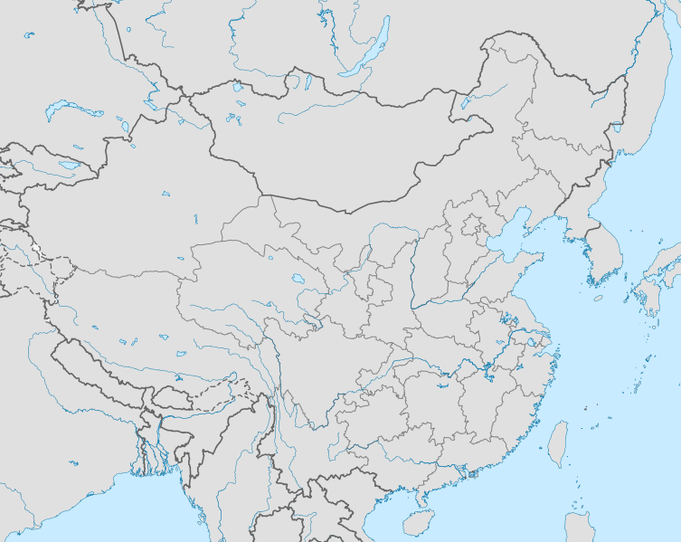
English: Map of the Ryukyu Kingdom in context (based on China map for now)
日本語: 中国大陸を中心に描かれた琉球王国の地図 |
| Date | |
| Source | http://en.wikipedia.org/wiki/File:China_edcp_location_map.svg |
| Author | Uwe Dedering / Wikipedia |
| Permission (Reusing this file) |
http://en.wikipedia.org/wiki/File:China_edcp_location_map.svg |
- Other information
English: Derivative of Wikipedia / Wikimedia Commons image
Licensing
edit
This file is licensed under the Creative Commons Attribution-Share Alike 1.0 Generic license.
- You are free:
- to share – to copy, distribute and transmit the work
- to remix – to adapt the work
- Under the following conditions:
- attribution – You must give appropriate credit, provide a link to the license, and indicate if changes were made. You may do so in any reasonable manner, but not in any way that suggests the licensor endorses you or your use.
- share alike – If you alter, transform, or build upon this work, you must distribute the resulting work under the same license as the original.
File history
Click on a date/time to view the file as it appeared at that time.
| Date/Time | Thumbnail | Dimensions | User | Comment | |
|---|---|---|---|---|---|
| current | 23:40, 5 September 2012 | | 1,181 × 940 (2.62 MB) | Computermacgyver (talk | contribs) | {{subst:Upload marker added by en.wp UW}} {{Information |Description = {{en|Map of ryukyu kingdom in context (based on China map for now)}} |Source = http://en.wikipedia.org/wiki/File:China_edcp_location_map.svg |Date = 3 March 2010 |Author = Uwe Deder... |
You cannot overwrite this file.
File usage on Commons
There are no pages that use this file.
File usage on other wikis
The following other wikis use this file:
- Usage on ar.wikipedia.org
- Usage on en.wikipedia.org
- Usage on fa.wikipedia.org
- Usage on kn.wikipedia.org