File:Söréd-első-katonai-felmérés-térképe.jpg
Size of this preview: 736 × 599 pixels. Other resolutions: 295 × 240 pixels | 590 × 480 pixels | 835 × 680 pixels.
Original file (835 × 680 pixels, file size: 211 KB, MIME type: image/jpeg)
Captions
Captions
Add a one-line explanation of what this file represents
Summary
edit
| Description |
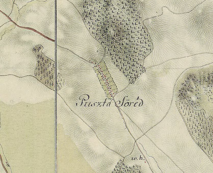
English: The map of Söréd from the first Military Mapping Survey of Austria Empire. |
| Date | |
| Source | wiki.utikonyvem.hu |
| Author | Military mapping authority of Austria-Hungary |
Licensing
edit
|
This work is in the public domain in its country of origin and other countries and areas where the copyright term is the author's life plus 70 years or fewer. | |
| This file has been identified as being free of known restrictions under copyright law, including all related and neighboring rights. | |
File history
Click on a date/time to view the file as it appeared at that time.
| Date/Time | Thumbnail | Dimensions | User | Comment | |
|---|---|---|---|---|---|
| current | 18:48, 2 July 2013 | | 835 × 680 (211 KB) | Nyar94 (talk | contribs) | User created page with UploadWizard |
You cannot overwrite this file.
File usage on Commons
There are no pages that use this file.