File:SVG Map River Vaigai EN.svg

Size of this PNG preview of this SVG file: 479 × 599 pixels. Other resolutions: 192 × 240 pixels | 384 × 480 pixels | 614 × 768 pixels | 819 × 1,024 pixels | 1,638 × 2,048 pixels | 567 × 709 pixels.
Original file (SVG file, nominally 567 × 709 pixels, file size: 343 KB)
Captions
Captions
Add a one-line explanation of what this file represents
Summary edit
| Description |
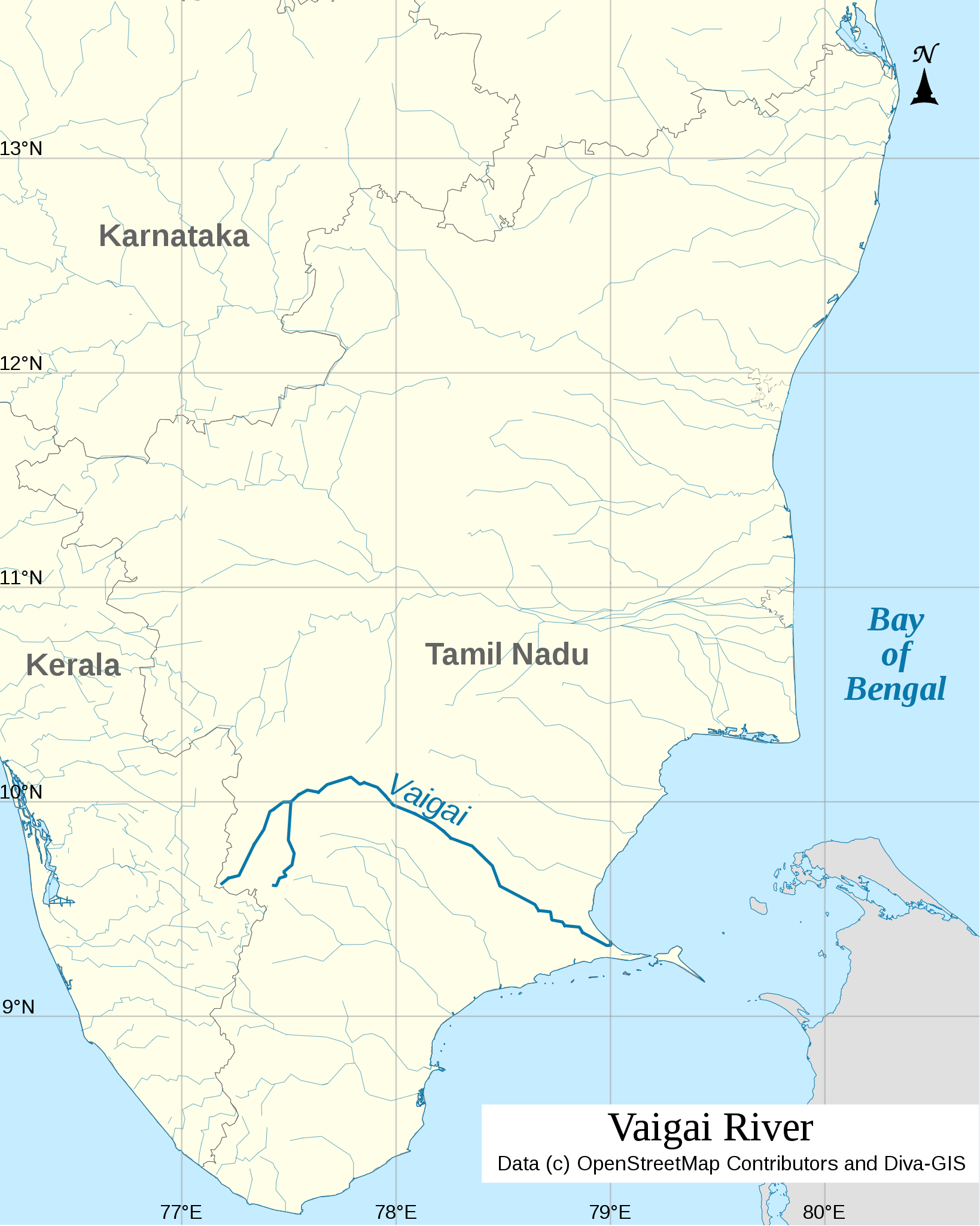
English: Map of River Vaigai |
| Date | |
| Source |
Coastlines and Administrative Boundaries: DIVA-GIS Rivers: OpenStreetMap Map: Own work using QGIS and Inkscape |
| Author | NaanCoder |
Licensing edit
I, the copyright holder of this work, hereby publish it under the following license:
This file is licensed under the Creative Commons Attribution 3.0 Unported license.
- You are free:
- to share – to copy, distribute and transmit the work
- to remix – to adapt the work
- Under the following conditions:
- attribution – You must give appropriate credit, provide a link to the license, and indicate if changes were made. You may do so in any reasonable manner, but not in any way that suggests the licensor endorses you or your use.
File history
Click on a date/time to view the file as it appeared at that time.
| Date/Time | Thumbnail | Dimensions | User | Comment | |
|---|---|---|---|---|---|
| current | 08:00, 28 May 2014 | | 567 × 709 (343 KB) | NaanCoder (talk | contribs) | Changed map title font to Times New Roman for proper rendering |
| 07:52, 28 May 2014 |  | 567 × 709 (343 KB) | NaanCoder (talk | contribs) | Reduced the Label sizes and line thickness. Filled the holes for Karaikal, Pondichery | |
| 20:43, 27 May 2014 |  | 566 × 705 (341 KB) | NaanCoder (talk | contribs) | User created page with UploadWizard |
You cannot overwrite this file.
File usage on Commons
There are no pages that use this file.
File usage on other wikis
The following other wikis use this file:
- Usage on azb.wikipedia.org
- Usage on bn.wikipedia.org
- Usage on en.wikipedia.org
- Usage on es.wikipedia.org
- Usage on hi.wikipedia.org
- Usage on ml.wikipedia.org
- Usage on simple.wikipedia.org