File:SW Histor. Karte Peterstirn.png

Size of this preview: 800 × 438 pixels. Other resolutions: 320 × 175 pixels | 640 × 350 pixels | 1,024 × 561 pixels | 1,812 × 992 pixels.
Original file (1,812 × 992 pixels, file size: 3.78 MB, MIME type: image/png)
Captions
Captions
Add a one-line explanation of what this file represents
Summary
edit
| Description |
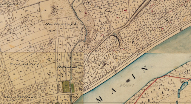
Deutsch: Schweinfurt. Historische Karte (Uraufnahme) Bereich um die Peterstirn |
| Date | 19. Jh. |
| Source | BayernAtlas |
| Author | unbekannt |
Licensing
edit
|
This work is in the public domain in its country of origin and other countries and areas where the copyright term is the author's life plus 100 years or fewer. This work is in the public domain in the United States because it was published (or registered with the U.S. Copyright Office) before January 1, 1929. | |
| This file has been identified as being free of known restrictions under copyright law, including all related and neighboring rights. | |
File history
Click on a date/time to view the file as it appeared at that time.
| Date/Time | Thumbnail | Dimensions | User | Comment | |
|---|---|---|---|---|---|
| current | 18:00, 21 December 2023 | | 1,812 × 992 (3.78 MB) | Foxxy199 (talk | contribs) | Uploaded a work by unbekannt from BayernAtlas with UploadWizard |
You cannot overwrite this file.
File usage on Commons
There are no pages that use this file.