File:Saint Helena Isla - panoramio.jpg

Size of this preview: 800 × 600 pixels. Other resolutions: 320 × 240 pixels | 640 × 480 pixels | 1,024 × 768 pixels | 1,280 × 960 pixels | 2,560 × 1,920 pixels | 4,320 × 3,240 pixels.
Original file (4,320 × 3,240 pixels, file size: 5.53 MB, MIME type: image/jpeg)
Captions
Captions
Add a one-line explanation of what this file represents
Summary
edit
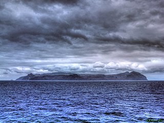
| Description | Saint Helena Isla | ||
| Date | Taken on 30 December 2011 | ||
| Source | https://web.archive.org/web/20161026200806/http://www.panoramio.com/photo/72205424 | ||
| Author | ---=XEON=--- | ||
| Permission (Reusing this file) |
This file is licensed under the Creative Commons Attribution 3.0 Unported license.
|
||
| Tags (from Panoramio photo page) | Saint Helena, 2012, HDR Shot - High Dynamic Range Imaging, Saint Helena Island - Isla - France - England - UK - U.K. - British - United Kingdom, Seas - Oceans - Strait - Pass - Channel - Canal - Sea Roads - Oceans Roads - Fairways - Seaway - Clearway - Harbor - Haven - Port - Seaport - Bay - Cove - Creek, True Position By GPS - Correct Position - WGS84 - WGS 84 - World Geodetic System 1984 |
| Camera location | | View this and other nearby images on: OpenStreetMap |
|---|
File history
Click on a date/time to view the file as it appeared at that time.
| Date/Time | Thumbnail | Dimensions | User | Comment | |
|---|---|---|---|---|---|
| current | 23:26, 2 January 2017 | | 4,320 × 3,240 (5.53 MB) | Panoramio upload bot (talk | contribs) | == {{int:filedesc}} == {{Information |description=Saint Helena Isla |date={{Taken on|2011-12-30}} |source=http://www.panoramio.com/photo/72205424 |author=[http://www.panoramio.com/user/760796?with_photo_id=72205424 ---=XEON=---] |permission={{cc-by-3.0... |
You cannot overwrite this file.
File usage on Commons
There are no pages that use this file.
File usage on other wikis
The following other wikis use this file:
- Usage on hu.wikipedia.org