File:Saintbruno1952.jpg

Original file (3,954 × 2,959 pixels, file size: 8.33 MB, MIME type: image/jpeg)
Captions
Captions
| Description |
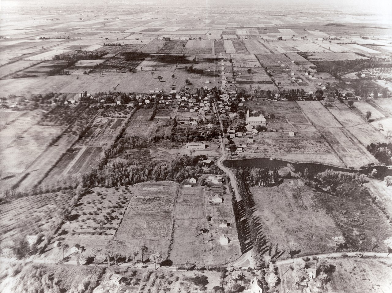
English: Aerial view of Saint-Bruno-De-Montarville taken in 1952 by the Canadian Air Force. The camera is looking down rue Montarville with rue Beaumont parallel in the foreground towards what is now down town Saint-Bruno. Of the structures and landmarks still standing today, the city's catholic church and the village lake are the most obvious. |
|||
| Date | ||||
| Source | Canadian Air Force | |||
| Author | Canadian Air Force | |||
| Permission (Reusing this file) |
|

| Camera location | | View this and other nearby images on: OpenStreetMap |
|---|
File history
Click on a date/time to view the file as it appeared at that time.
| Date/Time | Thumbnail | Dimensions | User | Comment | |
|---|---|---|---|---|---|
| current | 20:17, 17 January 2011 | | 3,954 × 2,959 (8.33 MB) | Tinss (talk | contribs) | {{Information |Description={{en|1=Aerial view of Saint-Bruno-De-Montarville taken in 1952 by the Canadian Air Force. The camera is looking down rue Montarville with rue Beaumont parallel in the foreground towards what is now down town Saint-Bruno. Of the |
You cannot overwrite this file.
File usage on Commons
There are no pages that use this file.
File usage on other wikis
The following other wikis use this file:
- Usage on de.wikipedia.org
- Usage on en.wikipedia.org
- Usage on fr.wikipedia.org